
What is recorded here
Situated on S-facing slope, in pasture, with good views to S and W. Depicted on the 1837 ed. OS 6-inch map as a horseshoe-shaped earthwork (approx. dims. 40m NW-SE; 30m WSW-ENE). Shown on the revised 1910 ed. OS 25-inch map as a roughly oval-shaped area which is open to N. Monument described in 1973 as a roughly circular-shaped area (diam. 35m) enclosed by a bank visible from NNE-E-SE and reduced to a scarp from SE-S-SW-W-NW. There is a break in the bank from NW-N-NNE where an old field boundary joins it. The interior is relatively level and there is a house site (WM036-017001-) in the centre. Rock outcrop is evident in the N quadrant.
Monument is visible today as a roughly oval-shaped scrub-covered earthwork on Digital Globe aerial photography.
Compiled by Alison McQueen, Vera Rahilly and Caimin O’Brien.
Date of upload: 28 November 2019
A local fairy fort (ringfort/rath); wider significance not recorded.
The monument record does not grant public access. Check the route and ask the landowner before entering private land.
- What survives
- Recorded monument
Places near here
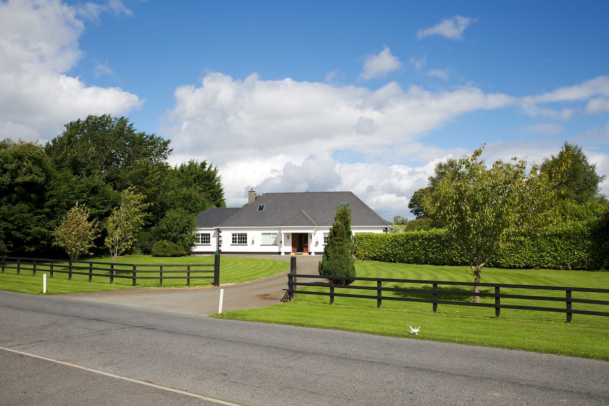 OutlinedFairy fort / earthen ringfort · 668 yd
 Church (Site of)Church · 699 yd
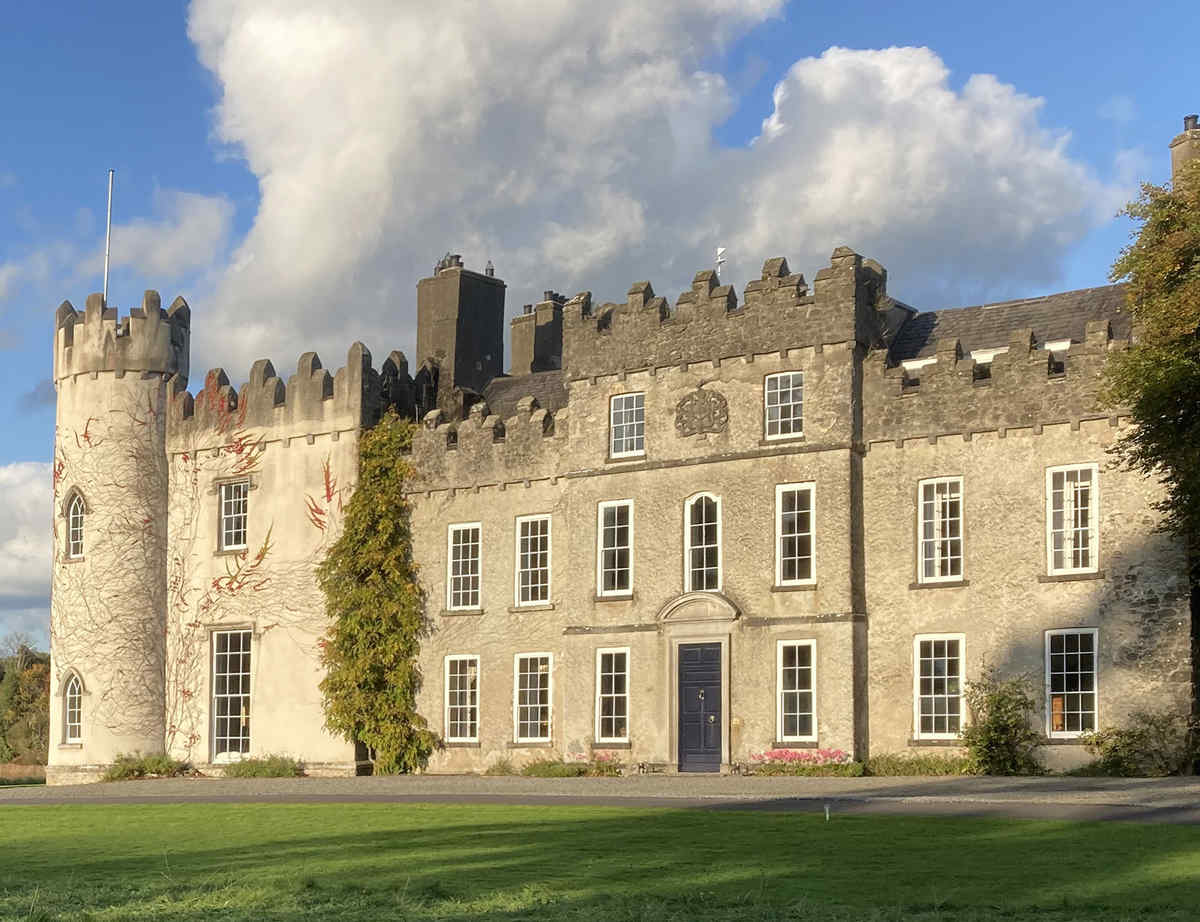 CastleCastle, unclassified · 753 yd
 Farnaghcountry house · 1438 yd
 Kilcleagh ChurchChurch · 1440 yd
 Cloghawareschal CastleCastle, unclassified · 1.1 mi
 Dún na SíMuseum · 2.2 mi
 Dún na Sí Heritage CentreMuseum · 2.2 mi
 Charles BianconiMemorial · 2.6 mi
 Moate HillMountain / peak · 2.6 mi
 European ashEuropean ash · 3.3 mi
Other information
Photo: Credit not shown in the picture search · Rights wording not checked; contact us if this picture should be removed