
What is recorded here
In pasture immediately E of the townland boundary with Ballynamona. Barrow cemetery (LI049-072001/026-) lies immediately to S and SE. Depicted on the 1897 ed. OSi 25-inch map as a raised oval-shaped platform (dims. c. 32m NE-SW; 26m NW-SE) defined by a scarp with fosse from SW-N-NE. Truncated at S by a field drain…
Read the whole record
From the National Monuments Service (Archaeological Survey of Ireland) record LI041-031
Places near here
Photo credits
- Maker not stated on source page, www.flickr.com
- Maker not stated on source page, www.alamy.com
- National Inventory of Architectural Heritage
- Maker not stated on source page, www.pinterest.com
- Maker not stated on source page, en.wikipedia.org
- Maker not stated on source page, commons.wikimedia.org
- Knockane GAA Club website; individual photographer not stated, www.knockane.com
- Kmcnamee, Wikimedia Commons · CC BY-SA 4.0
- No machine-readable author provided. Christian1965~commonswiki assumed (based on copyright claims)., Wikimedia Commons · Public domain
 Earthwork in Deerpark (coshlea By.)Earthwork · 1071 yd
Explorer Tom Earthwork in Deerpark says the local sheep think it’s a fancy hill. It’s just a round bump hiding from the quarry next…
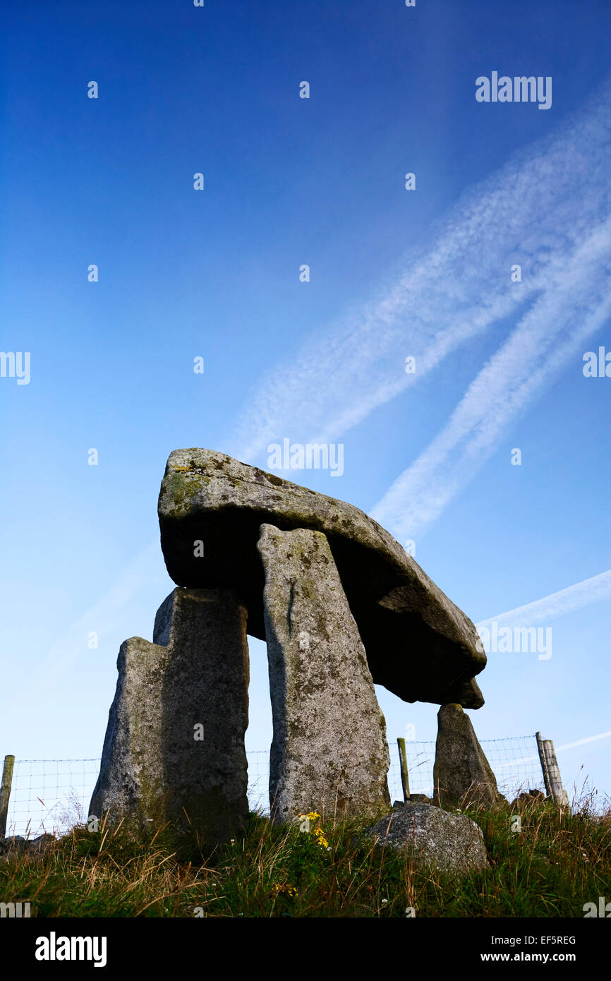 Duntryleague passage tombVisitor attraction · 1164 yd
Explorer Tom Duntryleague passage tomb holds the fake world record for 'Most Annoying Name to Say While Hiking'. It’s ancient, it’s…
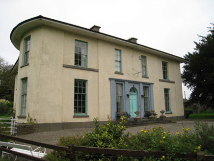 GlenefyHouse · 1322 yd
Explorer Tom Glenefy was designed by a mother-in-law who wanted a carved head on the courtyard just to judge everyone walking past.…
 Flat cemetery in DuntryleagueFlat cemetery · 1647 yd
Explorer Tom Flat cemetery in Duntryleague has a curse that only affects people who don’t wave hello. Discovered in 1682, yet nobody…
 Castle Creagh (in Ruins)Castle, unclassified · 1672 yd
Explorer Tom Castle Creagh in Castlecreagh is playing hide-and-seek with me. The local sheep swear they saw it vanish in a puff of…
 Church (in Ruins)Chapel · 1.0 mi
Explorer Tom Church in Duntryleague has strict rules: no shouting, no dogs, and definitely no selfies. The medieval chapel is…
 Duntryleague Church (Galbally)Church/chapel · 1.0 mi
Explorer Tom Duntryleague Church (Galbally) is in a rivalry with a more famous church just down the road. Only its tower remains…
 Earthwork in Raheen (coshlea By.)Earthwork · 1.6 mi
Explorer Tom Earthwork in Raheen is a D-shaped cropmark truncated by a road, like a story that got cut short because the writer ran…
 Aughavoona HouseHouse · 1.9 mi
Explorer Tom Aughavoona House hears the seagulls calling it 'the fancy brick one' every single morning without fail. Its ornate…
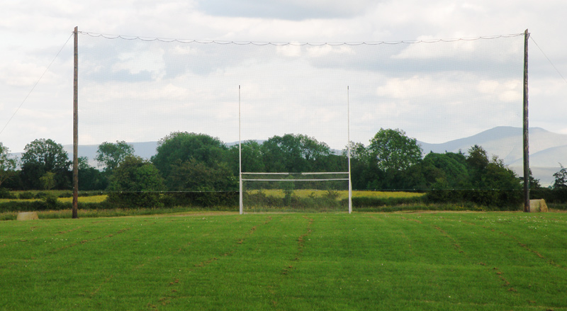 Knockainey GAA pitchGAA ground · 7.9 mi
 Bruff GAA pitchGAA ground · 9.7 mi
 Áine and Gearóid Iarla: Lough GurLegend location · 11 mi
Explorer Tom Áine and Gearóid Iarla: Lough Gur has a goddess for the lake and a sleeping lord in the old stories. I thought I was…
More archaeology and monuments in County Limerick · All of County Limerick

What do you know about this place?Tap to add a comment or ask a question