What is recorded here
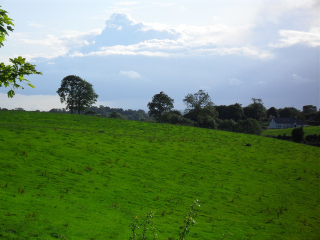
Nine barrows stand in wet Limerick pasture, the northernmost marked by a central hollow that may have held a burial. Ó Ríordáin excavated six in 1934, yet the ditch and soil have since swallowed the shape from modern images. The chamber is gone, but the row remains a quiet wound in the field, waiting for rain to reveal what memory has forgotten.
In wet pasture 40m W of a stream and 270m W of the townland boundary with Lissard. The most N of 9 barrows (LI049-072001/009-) that make up a barrow cemetery concentrated in an area measuring 240m N-S x 50m E-W. Six of the 9 barrows in this cemetery were excavated in 1934 by S. P. Ó Ríordáin (1936, 180-181). Site number VIII in Field C was excavated described as following; ‘Fig. 3 shows one field on the farm of Mr. P Condon in Ballymona Townland in which occurred nine barrows (“c” on map). No. VIII was the only barrow which showed at the centre a hollow which might be regarded as having held a burial’. No surface remains visible on Digital Globe orthoimage taken between 2011-13 or on Google Earth orthoimages.
See attached location maps and section of Barrow VIII taken from Ó Ríordáin and Google Earth orthoimages.
Compiled by: Martin Fitzpatrick
Date of upload: 23 September 2021
Ditch barrow, likely dating to the Early Bronze Age (c. 2000–1500 BCE), part of a cemetery indicating organized funerary practices and social structure in a prehistoric community.
The monument record does not grant public access. Check the route and ask the landowner before entering private land.
- What survives
- Recorded monument
Places near here
 BarrowBarrow, unclassified · 404 yd
 Partially hachuredQuarry · 826 yd
 Partially indicatedFulacht fia · 1059 yd
 Darby's Bed Walk LoopWalking route · 1331 yd
 Duntryleague - hachuredCastle, ringwork · 1370 yd
 Duntryleague HillMountain / peak · 1388 yd
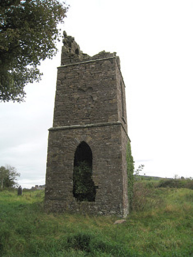 Duntryleague Church (Galbally)church/chapel · 1435 yd
 Ryves CastleCastle, unclassified · 1.5 mi
 Carn (site of)Cairn, burial cairn · 1.6 mi
 Saint Patrick's WellSpring · 2.0 mi
 St Patrick's WellSpring · 3.1 mi
 SlievereaghMountain / peak · 3.7 mi
Other information
Photo: Credit not shown in the picture search · Rights wording not checked; contact us if this picture should be removed