What is recorded here
Monument surveyed by ASI in 1978 and described as following; 'A small roughly circular area (diam. 30m N-S; 30m W-W) outlined by a low scarp with traces of a low bank at its upper edge and of a shallow fosse at its foot. A modern (E-W) field fence runs into the bank at the NNW and from there to the SW the bank is incorporated in a field fence, another field fence (N-S) runs into the bank at the SW. Modern field walls runs outside the perimeter from SW-S-E-NE. The fosse is poorly preserved and seems to have been filled in everywhere except on the NNE-NE. There is some stone (field clearance) dumped on the outer edge of the fosse on the NNE. There is some stone visible in the face of the scarp on the E but there is no definite evidence for a facing of stone. The bank is poorly preserved but it is traceable all round the perimeter. There is no sign of an entrance. The interior is flat except for a small oval rise just NE of centre, the significance unknown. The perimeter is overgrown on the N, W, S and NE. The site is on a small rise with good views all round. The site is in the SE corner of a hay field' (SMR File 29/06/1978).
Compiled by: Caimin O'Brien
Date of upload: 18 February 2013
A local fairy fort (ringfort/rath); wider significance not recorded.
The monument record does not grant public access. Check the route and ask the landowner before entering private land.
- What survives
- Recorded monument
Places near here
 OutlinedFairy fort / earthen ringfort · 535 yd
 Rathnagalliagh FortFairy fort / earthen ringfort · 728 yd
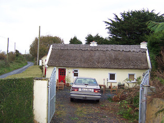 The Thatchhouse · 1362 yd
 Site of CastleCastle, tower house · 1713 yd
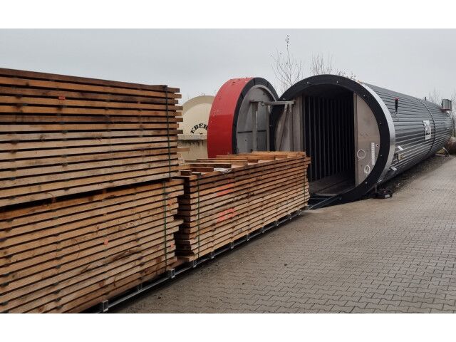 KilnKiln, corn-drying · 1725 yd
 Castletown MoatCastle, motte and bailey · 1.0 mi
 Sam's ParkForest · 4.5 mi
 Hill of UisneachMountain / peak · 4.9 mi
 European ashEuropean ash · 5.1 mi
 Kilmalady HillMountain / peak · 5.5 mi
 Bonfire HillMountain / peak · 5.6 mi
 St. Columba's WellSpring · 7.2 mi
Other information
Photo: Credit not shown in the picture search · Rights wording not checked; contact us if this picture should be removed