What is recorded here
In pasture, 120m W of townland boundary with Baunnageeragh, 250m N of townland boundary with Ballygrennan and 300m N of townland boundary with Ballycullane. Depicted on 1840 ed. OSi 6-inch map as a circular-shaped area defined by a bank with wide berm forming a concentric type enclosure (overall diam. c 95m).…
Read the whole record
From the National Monuments Service (Archaeological Survey of Ireland) record LI040-041
Places near here
Photo credits
- Maker not stated on source page, 2pos.irish
- National Inventory of Architectural Heritage
- Maker not stated on source page, commons.wikimedia.org
- Maker not stated on source page, en.wikipedia.org
- Mike Searle, Geograph · CC BY-SA 2.0
- Kmcnamee, Wikimedia Commons · CC BY-SA 4.0
- Maker not stated on source page, www.gettyimages.ca
 Ardkilmartin Church (in ruins)Church · 1690 yd
Explorer Tom Ardkilmartin Church smells like damp moss, old prayers, and a strong sense of being completely forgotten by everyone…
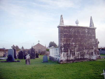 Ardkilmartin CemeteryGraveyard/cemetery · 1700 yd
Explorer Tom Ardkilmartin Cemetery has an imaginary twin across the sea that keeps sending postcards about its own headstones. The…
 Catholic Church of Our Lady of the AssumptionChurch/chapel · 1.1 mi
Explorer Tom Catholic Church of Our Lady of the Assumption is showing off its unfinished tower like it’s a fashion statement. It…
 Bulgaden CreameryCreamery · 1.1 mi
Explorer Tom Bulgaden Creamery has a corrugated iron roof that replaced thatch, marking the end of an era for roofing. The stone…
 Greenpark HouseCountry house · 1.4 mi
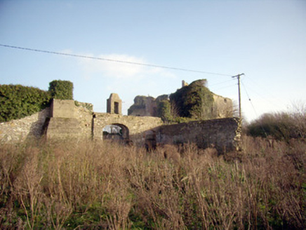
Explorer Tom Greenpark House in Uregare looks like it got lost on the way to a different county. It's overgrown and confused…
 Lady HouseHouse · 1.5 mi
Explorer Tom Lady House in Bulgaden Eady would win a county fair by standing still and looking smug in its red brick surrounds. It’s…
 Bantard HouseHouse · 1.6 mi
Explorer Tom Bantard House has a rivalry with every other house in Limerick that it refuses to lose. The Victorian bay windows are…
 Earthwork in Gormanstown (phillips)Earthwork · 2.0 mi
Explorer Tom Earthwork in Gormanstown would tell a teenager the 1800s were all about mud and bad attitudes. It’s just sitting there…
 Staker Wallace GAA pitchGAA ground · 2.3 mi
 Castle (in ruins)Castle, tower house · 2.4 mi
Explorer Tom Fantstown Castle would describe itself to a stranger as 'slightly damp, historically significant, and currently…
 Bruff GAA pitchGAA ground · 3.1 mi
 (Site of) ChurchChurch · 4.6 mi
Explorer Tom Church in Balline is hiding a treasure chest that is definitely just an old biscuit tin. St. Molua’s Well is right…
More archaeology and monuments in County Limerick · All of County Limerick

What do you know about this place?Tap to add a comment or ask a question