What is recorded here
Situated on top of a prominent hillock with good views of the surrounding countryside. Depicted as a roughly D-shaped enclosure on the 1837 ed. OS 6-inch map with field boundary running N-S forming straight side at W. This enclosure was originally circular in shape and was partially levelled when the field boundary was constructed, cutting across the W side of the monument forming a D-shaped earthwork. A roughly oval shaped area (approx. diam. 34m N-S; 33m E-W) enclosed by a poorly preserved earthen bank, wide deep U-shaped fosse and external bank with entrance gap (Wth 1.6m) at SSE. The inner bank is best preserved from SW-W-WNW. Elsewhere it is fragmentary or completely reduced to a scarp. The outer bank survives in a disturbed (gapped) state from SSW-W-N-E. Elsewhere the fosse is filled up or quarried and the outer bank is absent. Extending SSE from both sides of the gap are two parallel earthen banks (L 6m; Wth 2m; H 0.5m) along the upper edges of a slight ramp. One stone on the W side of the gap may perhaps be the remains of dry stone facing but not sufficiently exposed to be certain. Levelled monument which is not visible on Digital Globe aerial photograph taken November 2011.
Compiled by: Frank Coyne & Caimin O'Brien
Date of upload: 6 January 2017
The monument record does not grant public access. Check the route and ask the landowner before entering private land.
- What survives
- Recorded monument
Places near here
 Parially HachuredFairy fort / ringfort · 503 yd
 IndicatedFairy fort / earthen ringfort · 852 yd
 TemplefanumChapel · 1094 yd
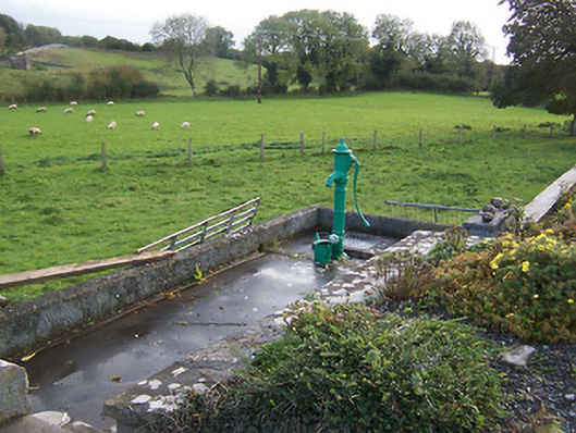 water pumpwater pump · 1175 yd
 Hilltown Castle (in ruins)Castle, tower house · 1.1 mi
 Hachured, dotted outlineCastle, motte and bailey · 1.2 mi
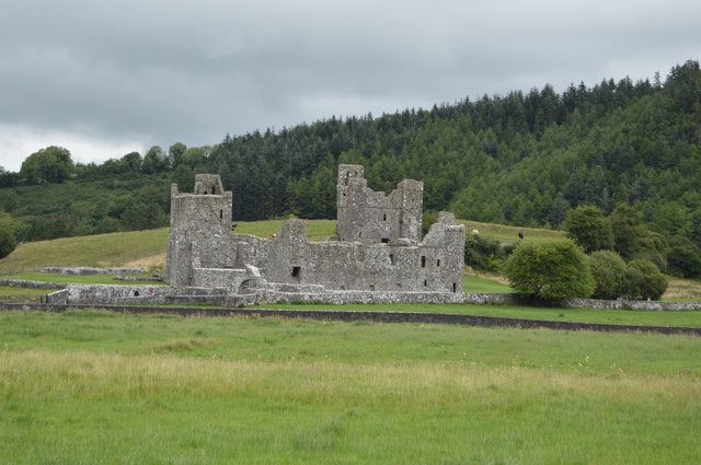
 Fore AbbeyHeritage attraction · 2.2 mi
 European ashEuropean ash · 2.3 mi
 St Feichin's MillHeritage attraction · 2.4 mi
 Ben of ForeMountain / peak · 2.7 mi
 Silver FirSilver Fir · 3.0 mi
 Rock of CurryCliff · 3.1 mi
Other information
Photo: Credit not shown in the picture search · Rights wording not checked; contact us if this picture should be removed