
What is recorded here
Situated atop hill with good views in all directions, 17th century wayside ross (WM003-076----) located 70m to S. Rectangular building aligned E-W depicted on 1837 ed. OS 6-inch map as 'Templefanum'. On the revised 6-inch OS map the same building has two names and appears to have been converted by this period in 'Carpenterstown School. Present remains consist of the derelict building marked as Carpenterstown School which may have incorporated fabric of an earlier building possibly a chapel known as 'Templefanum'. A prominent base batter on the W gable appears to be a buttress to support the gable sited on the edge of rising ground and does not appear to be medieval in date. There is evidence of yellow brisk incorporated into fabric of base batter on W gable. No clear evidence of any medieval features in present building although the presence of render both externally and internally may hide such features. In 1874 the Ordnance Survey Field Name Books for Co. Westmeath recorded that Carpenterstown National School was built in 1850 on the site of an ancient building known as 'Templefanum' (SMR File).
Compiled by: Caimin O'Brien
Date of upload: 24 April 2015
A local church or high cross; wider significance not recorded.
The monument record does not grant public access. Check the route and ask the landowner before entering private land.
- What survives
- Recorded monument
Places near here
 CrossCross, Wayside cross · 96 yd
 Hilltop enclosure in CarpenterstownHilltop enclosure · 721 yd
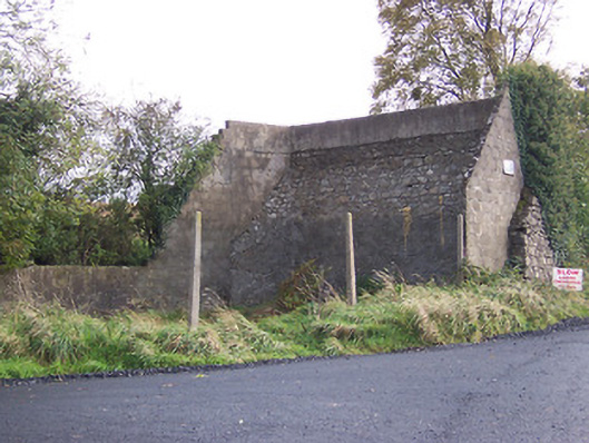 handball alleyhandball alley · 1136 yd
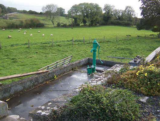 water pumpwater pump · 1229 yd
 Hilltown Castle (in ruins)Castle, tower house · 1.3 mi
 Hachured, dotted outlineCastle, motte and bailey · 1.7 mi
 Fore AbbeyHeritage attraction · 1.8 mi
 European BeechEuropean Beech · 1.9 mi
 European ashEuropean ash · 1.9 mi
 St Feichin's MillHeritage attraction · 1.9 mi
 Ben of ForeMountain / peak · 2.1 mi
 Seafin HillMountain / peak · 3.0 mi
Other information
Photo: Credit not shown in the picture search · Rights wording not checked; contact us if this picture should be removed