
What is recorded here
Situated on natural rise of ground or hillock on wet marshy land which has been drained. No surface remains visible. Depicted as a polygonal shaped-enclosure (approx. diam. 38m N-S; 31m E-W) or ringfort on 1837 ed. OS 6-inch map and as a horseshoe shaped earthwork with open side at S on the revised 1911 ed. OS 6-inch map. No surface remains visible. Described in 1973 as a demolished earthwork with the faint remains of a sub-rectangular house site (WM003-051001) on top of the hillock. Possible levelled ringfort with rectangular house site in centre of levelled monument. Outline of levelled ringfort barely visible on Digital Globe aerial photograph taken November 2011.
Compiled by: Frank Coyne & Caimin O'Brien
Date of upload: 6 January 2017
A local fairy fort (ringfort/rath); wider significance not recorded.
The monument record does not grant public access. Check the route and ask the landowner before entering private land.
- What survives
- Recorded monument
Places near here
 IndicatedFairy fort / earthen ringfort · 443 yd
 Partially hachuredFairy fort / earthen ringfort · 503 yd
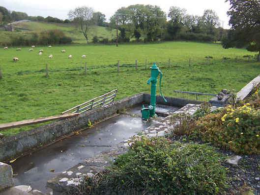 water pumpwater pump · 673 yd
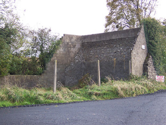 handball alleyhandball alley · 687 yd
 Hilltown Castle (in ruins)Castle, tower house · 1473 yd
 Hachured, dotted outlineCastle, motte and bailey · 1.4 mi
 Mullaghmeen ForestPicnic place · 2.6 mi
 European ashEuropean ash · 2.7 mi
 Rock of CurryCliff · 3.2 mi
 Silver FirSilver Fir · 3.3 mi
 Seafin HillMountain / peak · 3.4 mi
 Zip WireHeritage attraction · 4.7 mi
Other information
Photo: Credit not shown in the picture search · Rights wording not checked; contact us if this picture should be removed