
What is recorded here
In pasture at base of ridge running NE-SW, immediately N of stream and 217m E of Ahanload River that marks townland boundary with Fanningstown. Standing stone (LI022-227----) 145m to E, enclosure (LI022-188----) 150m to N, enclosure and field system (LI022-046----/-228) 200m to NW and field system (LI022-239----) 207…
Read the whole record
From the National Monuments Service (Archaeological Survey of Ireland) record LI022-047
Places near here
Photo credits
- Maker not stated on source page, www.wikidata.org
- Maker not stated on source page, commons.wikimedia.org
- National Inventory of Architectural Heritage
- Maker not stated on source page, www.alamy.com
- Maker not stated on source page, www.pinterest.com
- Maker not stated on source page, ru.pinterest.com
- Maker not stated on source page, ar.pinterest.com
- Kmcnamee, Wikimedia Commons · CC BY-SA 4.0
- Golfing in Ireland; photographer not stated, Source publisher
 Fairy fort / earthen ringfort in BoherloadFairy fort / earthen ringfort · 475 yd
Explorer Tom Fairy fort / earthen ringfort in Boherload has a hidden message written in its stones, if you squint really hard. It…
 Standing stone in Fanningstown (smallcounty By.)Standing stone · 846 yd
Explorer Tom Standing stone in Fanningstown is a boulder that the rabbits think is a really aggressive hill to nap on. It’s made of…
 Boherload HouseHouse · 926 yd
Explorer Tom Boherload House hums 'You Are My Sunshine' because its walled avenue needs cheering up. It’s a big farmhouse pretending…
 Fairy fort / ringfort in Fanningstown (smallcounty By.)Fairy fort / ringfort · 946 yd
Explorer Tom Fairy fort / ringfort in Fanningstown is still mad at the weather for ruining its stone face, even though it’s been…
 Cloghane BridgeBridge · 1287 yd
Explorer Tom Cloghane Bridge in Boherload has set itself a New Year's resolution to stop arching so dramatically. It’s a…
 Fairy fort / stone ringfort in Friarstown NorthFairy fort / stone ringfort · 1705 yd
Explorer Tom Fairy fort / stone ringfort in Friarstown North would say in a job interview that it has strong leadership skills…
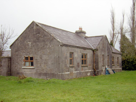 outbuilding, stables1724 yd
Explorer Tom Outbuilding, Stables in Gibbonstown has a name that sounds like a bad pun I came up with at a pub. It’s got grandiose…
 CastleCastle, ringwork · 1725 yd
Explorer Tom Castle in Raheen suspects the postman stole its secrets and hides behind the grass like a shy introvert. It’s a…
 Castle (in ruins)Castle, unclassified · 1740 yd
Explorer Tom Castle in Fanningstown would bring its own chair to a party because it doesn't trust modern seating to hold up its…
 Church (in ruins)Church · 1753 yd
Explorer Tom Church in Raheen is up high where Vikings used to get lost looking for it, probably because they were too busy…
 Dooley Park, South LibertiesGAA ground · 1.5 mi
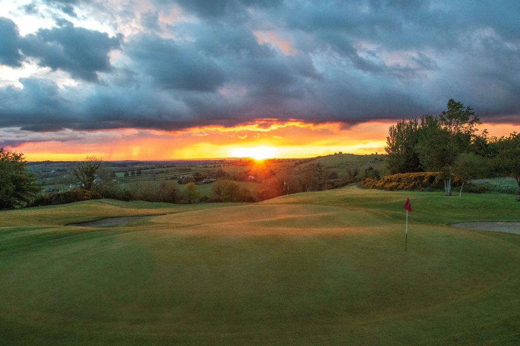 Ballyneety Golf ClubGolf course · 1.8 mi
More archaeology and monuments in County Limerick · All of County Limerick

What do you know about this place?Tap to add a comment or ask a question