What is recorded here
In pasture on the summit of a ridge running NE-SW within a large field that contains ringfort (LI022-047----), enclosures (LI022-046/-188----) and A field system (LI022-228----). Surveyed by the ASI in 2000 and described as a roughly rectangular shaped upright stone (H 1.25m) with its long axis orientated NW-SE. Visible on Google Earth orthoimage taken 06/02/2018.
Compiled by: Martin Fitzpatrick
Date of upload: 11 August 2020
Probably dates to the Bronze Age or Early Christian period, given its location within a complex landscape of ringforts and enclosures. Its exact meaning or use is unclear, but it may have had a ceremonial, territorial, or commemorative function.
The monument record does not grant public access. Check the route and ask the landowner before entering private land.
- What survives
- Recorded monument
Places near here
 Enclosure in Boherload,carnaneEnclosure · 226 yd
 Boherload Househouse · 808 yd
 ToberauillinSpring · 867 yd
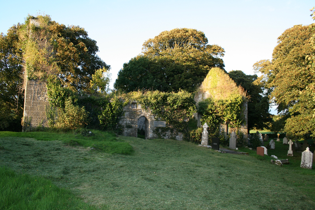
 Church (in ruins)Church · 1068 yd
 Enclosure in Fanningstown (smallcounty By.)Enclosure · 1086 yd
 Carnane RockNamed rock · 1522 yd
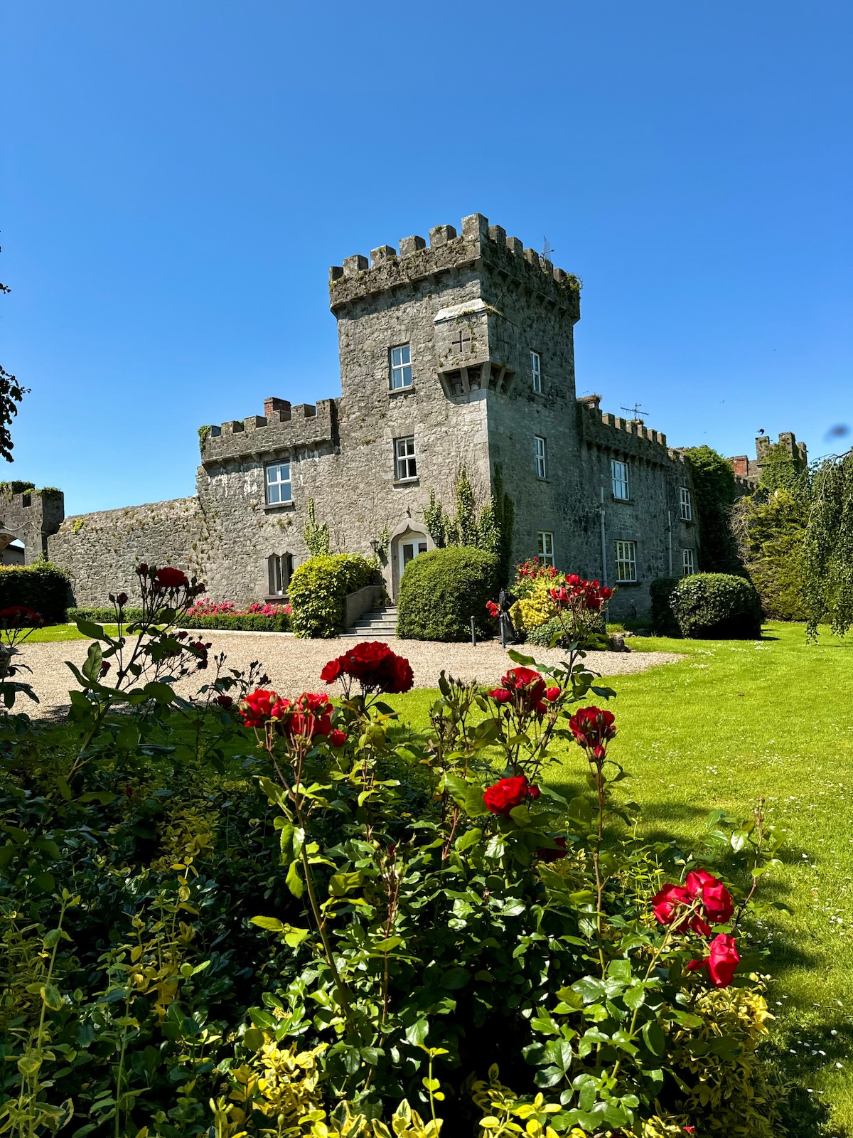
 Ballynagarde Ho.Castle, tower house · 1567 yd
 Bawn in Raheen (clanwilliam By., Roxborough Ed)Bawn · 1.0 mi
 Skool HillMountain / peak · 2.1 mi
 Villiers WellSpring · 2.1 mi
 European ashEuropean ash · 4.5 mi
 Grange Stone CircleArchaeological place · 5.0 mi