What is recorded here
Situated on a low rise, in undulating pasture. Levelled monument described in 1971 as no surface remains visible. A silage pit has been built in the centre of the monument location. Mounds of earth and stone lie against the walls of the silage pit. There is no trace of an enclosing bank or scarp.
Compiled by Alison McQueen, Vera Rahilly and Caimin O’Brien.
Date of upload: 24 July 2019
This remains an important historical record, but the official description says the monument is no longer visible or has been destroyed. The monument record does not grant public access. Check the route and ask the landowner before entering private land.
- What survives
- No visible remains or recorded as destroyed
Places near here
 IndicatedFairy fort / earthen ringfort · 736 yd
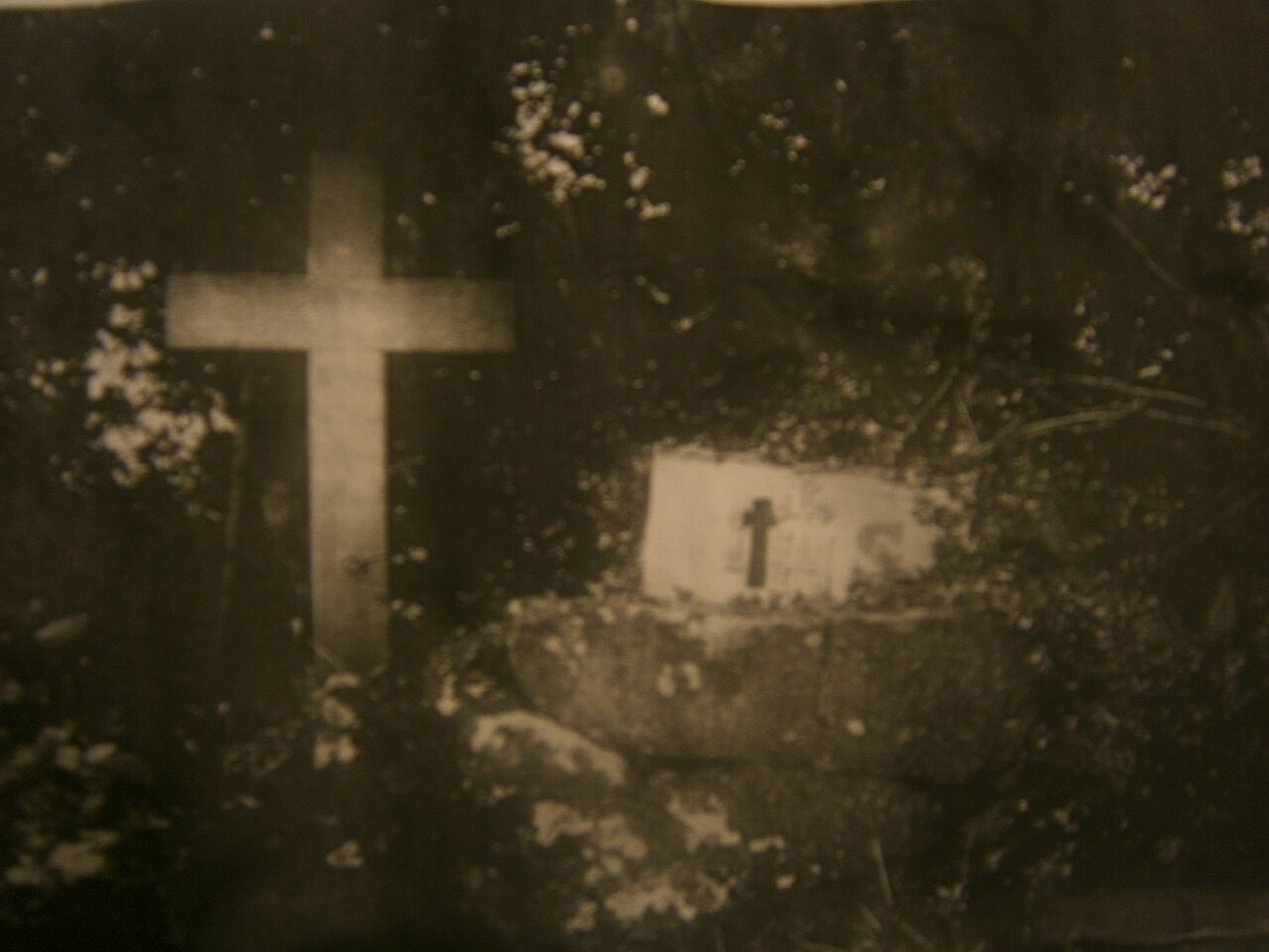 Mass-rock in KillininneenMass-rock · 790 yd
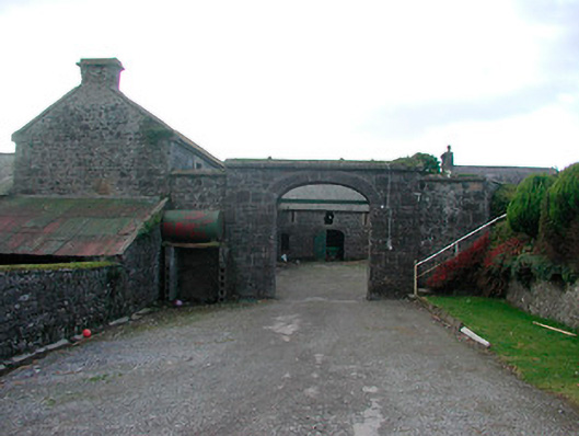 Dorrington Housefarmyard complex · 904 yd
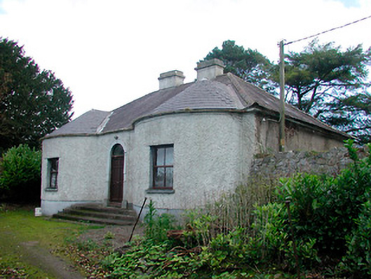 Walderstown Lodgehouse · 1012 yd
 Ardnagragh CastleCastle, tower house · 1372 yd
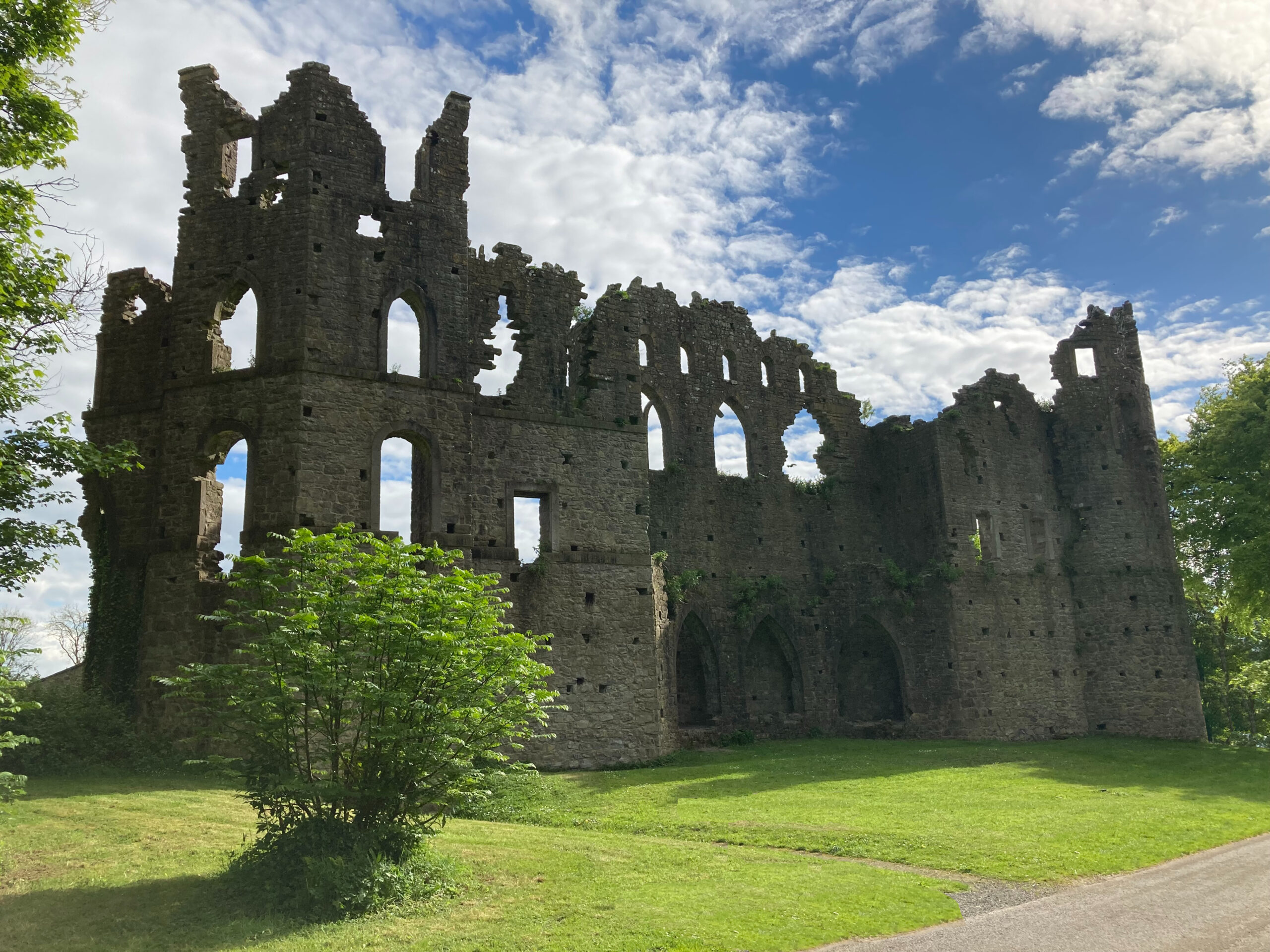 Sterns Folly, The BreenCastle, ringwork · 1.4 mi
 Noughaval CemeteryArchaeological place · 3.7 mi
 Killinure BayBay · 4.0 mi
 Temple's IslandIslet · 4.0 mi
 Traveen BayBay · 4.8 mi
 Dún na Sí Heritage CentreMuseum · 5.4 mi