What is recorded here
Situated on a slight rise, in gently undulating pasture, with good views to SE. Monument described in 1971 as an oval-shaped area enclosed by the remains of a large earth and stone bank, which is almost reduced to a scarp from E-S-WSW. The bank has been modified and has the remains of internal and external stone facing from SSW-W-N-NNE and a modern external stone facing from SE-S-SSW. There is a relatively recent gap in the modified bank at W and there are several other small disturbance gaps elsewhere. The original entrance is not recognisable and there is no visible trace of an external fosse. The interior rises appreciably from the perimeter towards the centre, where there is a rectangular-shaped house site (WM025-133001-) and other low banks. There are traces of old cultivation ridges running NNE-SSW within.
See attached plan and profile of monument surveyed and drawn by the ASI.
Compiled by Alison McQueen, Vera Rahilly and Caimin O’Brien.
Date of upload: 24 September 2019
This remains an important historical record, but the official description says the monument is no longer visible or has been destroyed. The monument record does not grant public access. Check the route and ask the landowner before entering private land.
- What survives
- No visible remains or recorded as destroyed
Places near here
 Kilbride ChurchChurch · 454 yd
 Ecclesiastical enclosure in Adamstown (moycashel By.)Ecclesiastical enclosure · 496 yd
 Adamstown Castle (in Ruins)Castle, tower house · 622 yd
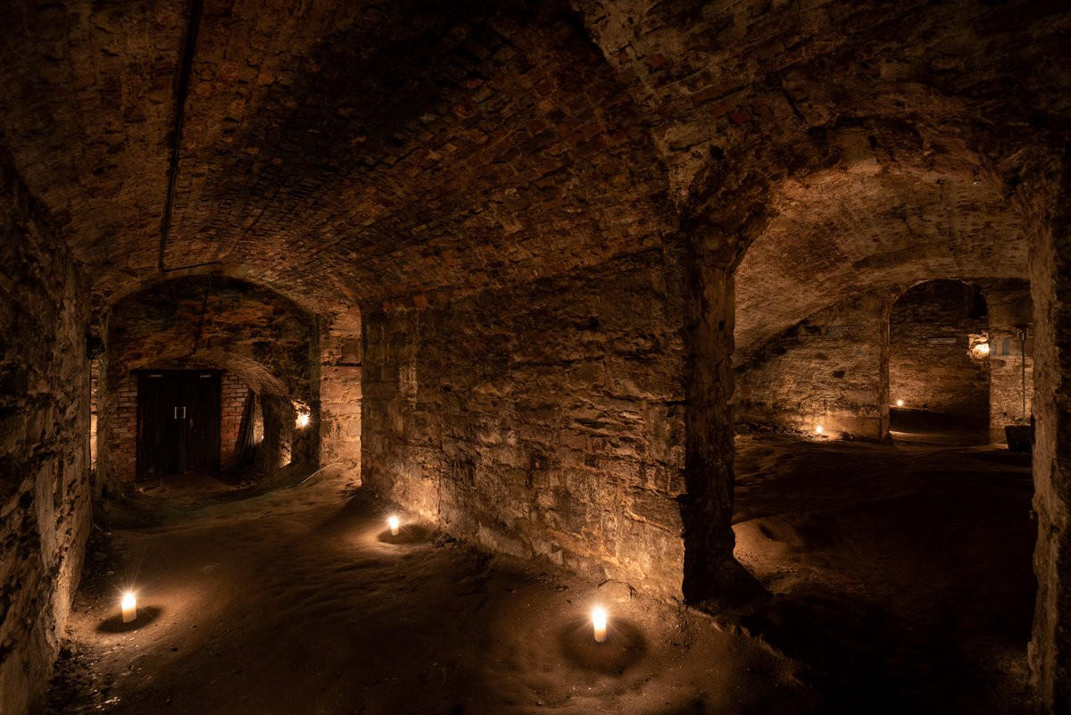 Man-made underground passage in Adamstown (moycashel By.)Man-made underground passage · 779 yd
 bridgebridge · 1046 yd
 Rathdrishoge CastleCastle, unclassified · 1380 yd
 Hill of UisneachMountain / peak · 3.4 mi
 Sam's ParkForest · 3.7 mi
 European ashEuropean ash · 3.8 mi
 St. Columba's WellSpring · 8.6 mi
 Moate HillMountain / peak · 9.5 mi
 Charles BianconiMemorial · 9.6 mi