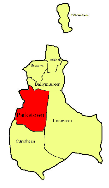
What is recorded here
Parkstown Castle vanished so completely that by 1952 it appeared only as a ghost label on maps. Its stones likely reappeared inside the outbuildings of Parkstown House, turning a ruined fortress into ordinary domestic walls. The gentle west-facing slope no longer shows the castle because human hands rearranged its bones. What looked like loss may have been transformation, with the castle living on through the building that consumed it.
Situated on a very gentle W-facing slope in gently undulating terrain. Marked as 'castle in ruins' on the 1st ed. (1843) OS 6-inch map. According to the OS Letters a small portion of the castlewas incorporated in the outbuildings of Parkstown House (O'Flanagan 1930, vol. 3, 91). By the 1952-3 OS 6-inch map the castle is indicated as 'site of'. Not visible at ground level; masonry probably used to build Parkstown House.
The above description is derived from 'The Archaeological Inventory of County Tipperary. Vol. 1 - North Tipperary' compiled by Jean Farrelly and Caimin O'Brien (Dublin: Stationery Office, 2002). In certain instances the entries have been revised and updated in the light of recent research.
Date of upload/revision: 22 September 2008
Built in the 17th century, Parkstown Castle was originally constructed as a defensive structure by a local landholding family. It is remembered for its historical presence in the area and its depiction as a ruin on early Ordnance Survey maps, indicating its significance in the region's architectural and military history.
The monument record does not grant public access. Check the route and ask the landowner before entering private land.
- What survives
- Recorded monument
Places near here
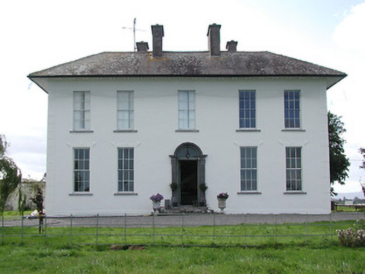 Parkstown Househouse · 43 yd
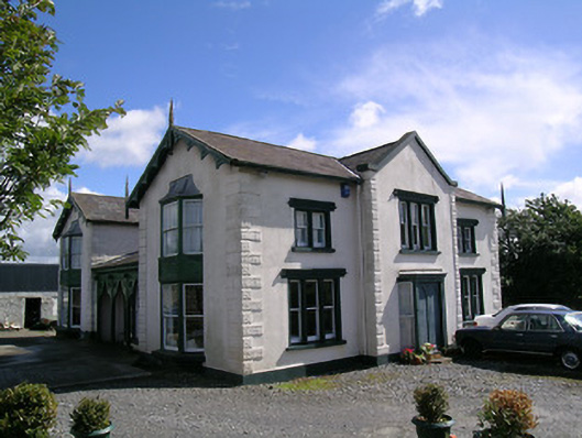 Parkstown Cottagehouse · 542 yd
 Gift Horse GalleryGallery · 574 yd
 Enclosure in Curraheen (ballymurreen Par.)Enclosure · 681 yd
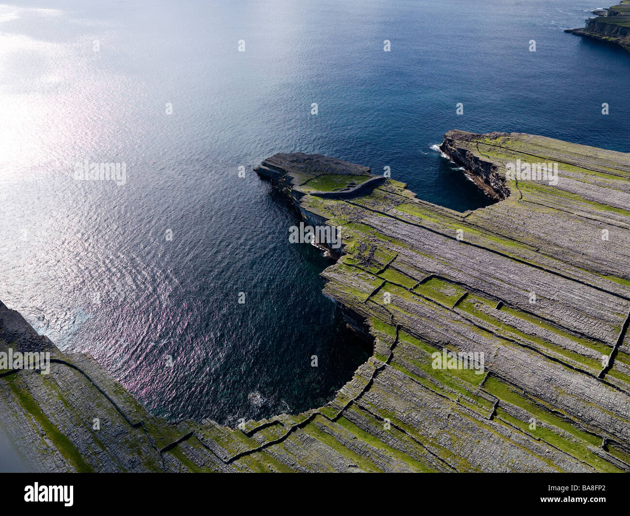 Black FortFairy fort / earthen ringfort · 746 yd
 Horse and JockeyVisitor information · 1011 yd
 Liskeveen Castle (in ruins)Castle, tower house · 1672 yd
 Bawn in MoycarkyBawn · 1726 yd
 Gobban Saer's GraveArchaeological place · 2.0 mi
 Sweet ChestnutSweet Chestnut · 2.1 mi
 European ashEuropean ash · 2.8 mi
 Derrynaflan TrailHeritage attraction · 2.9 mi
Other information
Photo: Credit not shown in the picture search · Rights wording not checked; contact us if this picture should be removed