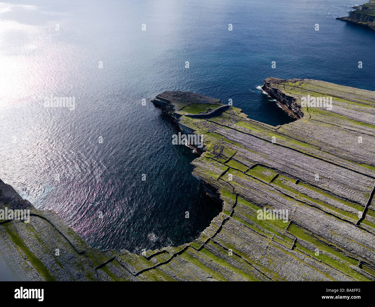
What is recorded here
Located on a gentle SE-facing slope in undulating terrain. A large roughly circular area (diam. c. 65-70m E-W) defined by an earthen bank (Wth 2.4m; int. H 1m; ext. H 2.36m), a wide, flat-bottomed fosse (Wth 4.7m; D 1.24m) and an outer bank (Wth 1.5m; ext. H 0.65m), with stone-facing on the inner and outer face of the outer bank. There is a large causewayed entrance at E (Wth 4.8m) with some stone lining at the base of the N terminal of the inner bank. A corresponding gap in the outer bank (Wth c. 7m) may have been widened. The inner bank was quarried into in the SW sector and there has been some dumping of scrap metal both here and in the interior.
The above description is derived from 'The Archaeological Inventory of County Tipperary. Vol. 1 - North Tipperary' compiled by Jean Farrelly and Caimin O'Brien (Dublin: Stationery Office, 2002). In certain instances the entries have been revised and updated in the light of recent research.
Date of upload/revision: 22 September 2008
The monument record does not grant public access. Check the route and ask the landowner before entering private land.
- What survives
- Recorded monument
Places near here
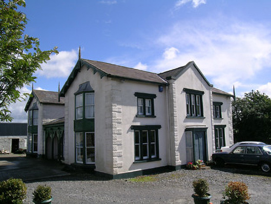 Parkstown Cottagehouse · 205 yd
 Enclosure in ParkstownEnclosure · 685 yd
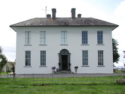 Parkstown Househouse · 711 yd
 Parkstown Castle (site of)Castle, unclassified · 746 yd
 Enclosure in BallymurreenEnclosure · 929 yd
 Gift Horse GalleryGallery · 1177 yd
 Liskeveen Castle (in ruins)Castle, tower house · 1315 yd
 Horse and JockeyVisitor information · 1488 yd
 Sweet ChestnutSweet Chestnut · 1.7 mi
 Gobban Saer's GraveArchaeological place · 2.2 mi
 European ashEuropean ash · 2.3 mi
 Derrynaflan TrailHeritage attraction · 2.8 mi
Other information
Photo: Credit not shown in the picture search · Rights wording not checked; contact us if this picture should be removed