What is recorded here
Situated on the summit of a natural rise with good views in all directions. Described in the Civil Survey (1654-6) as 'a bawne and castle in repaire' (Simington 1931, vol. 1, 57). Wm Cantwell is listed as proprietor in 1640 (ibid.). A four storey tower house with an attic (TN047-068002) and a two-storey turret running…
Read the whole record
From the National Monuments Service (Archaeological Survey of Ireland) record TN047-068004
Places near here
Photo credits
- A.-K. D., Wikimedia Commons · CC BY-SA 4.0
- National Inventory of Architectural Heritage
- Maker not stated on source page, www.tripadvisor.in
- Maker not stated on source page, en.wikipedia.org
- Maker not stated on source page, www.pinterest.com
- Maker not stated on source page, carlowtourism.com
- PST Sport project photograph; individual photographer not named, pstsport.com
 Moycarky CastleCastle, tower house · 15 yd
Explorer Tom Moycarky Castle has strong opinions about the road leading to it and thinks it needs more potholes for character and…
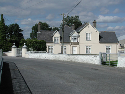 Moycarky CottageHouse · 216 yd
Explorer Tom Moycarky Cottage in Moycarky is built in phases, which means it has more secrets than a politician with a short memory.…
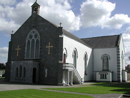 Saint Peter's Catholic ChurchChurch/chapel · 250 yd
Explorer Tom Saint Peter's Catholic Church in Moycarky has a name that really means 'The Place Where Peter Forgot His Keys' if we’re…
 Church (in ruins), GraveyardGraveyard · 273 yd
Explorer Tom Church Graveyard in Moycarky is where a local claims to have invented the concept of being buried next to a church…
 St. Peter's New CemeteryCemetery · 302 yd
Explorer Tom St. Peter's New Cemetery claims a fiddler played here all night until dawn broke his heart. The music supposedly still…
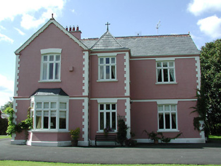 presbytery/parochial/curate's house763 yd
Explorer Tom Presbytery in Butlersfarm has a bishop who refused to visit because he thought the courtyard was too attractive for his…
 Horse and Jockey Railway StationSignal box · 1407 yd
Explorer Tom Horse and Jockey Railway Station signal box is refusing to fall down because it’s too proud. It thinks it’s still…
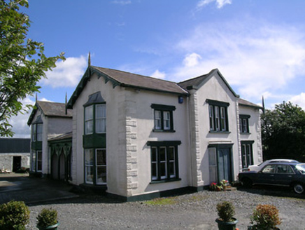 Parkstown CottageHouse · 1566 yd
Explorer Tom Parkstown Cottage witnessed a love story that went badly wrong next door. It’s got those scalloped bargeboards and…
 Fairy fort / earthen ringfort in CoolkipFairy fort / earthen ringfort · 1.4 mi
Explorer Tom Coolkip’s fairy fort would tell a teenager that the 1800s were all about mud and bad haircuts. It has a natural well in…
 Ballymoreen GraveyardGraveyard · 1.6 mi
Explorer Tom Ballymoreen Graveyard in County Tipperary has a secret talent for making the wind sound like a bagpipe player who’s had…
 Ballymureen Castle (in ruins)Castle, unclassified · 1.7 mi
Explorer Tom Ballymureen Castle smells like old fireplaces and damp stone, according to Tom, because that’s just the vibe it gives…
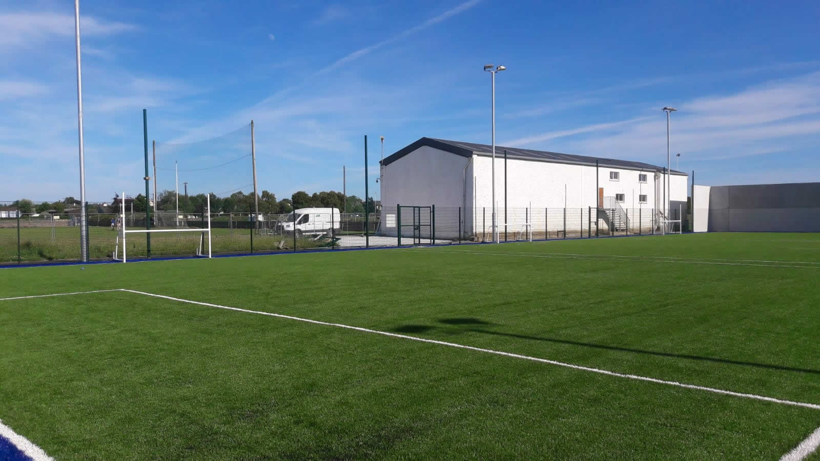 Boherlahan/Dualla GAA pitchGAA ground · 6.0 mi
More castles and forts in County Tipperary · All of County Tipperary

What do you know about this place?Tap to add a comment or ask a question