What is recorded here
Located on the summit of a hill. The site is completely destroyed as the entire area has been quarried out. Depicted as a large oval enclosure on both 1st (1843) and current (1952-53) eds. of the OS 6-inch map, the site appears to encompass the highest point of the hill where there is a trig. station on the map. The site was quarried by 1974 when an aerial photograph was taken (GSIAP, S 581/580); the quarry is no longer in operation. Vol. 1 - North Tipperary' compiled by Jean Farrelly and Caimin O'Brien (Dublin: Stationery Office, 2002).
Located on the summit of a hill. The site is completely destroyed as the entire area has been quarried out. Depicted as a large oval enclosure on both 1st (1843) and current (1952-53) eds. of the OS 6-inch map, the site appears to encompass the highest point of the hill where there is a trig. station on the map. The site was quarried by 1974 when an aerial photograph was taken (GSIAP, S 581/580); the quarry is no…
From the National Monuments Service (Archaeological Survey of Ireland) record TN047-092
The monument record does not grant public access. Check the route and ask the landowner before entering private land.
- What survives
- Recorded monument
Places near here
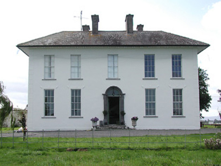 Parkstown HouseHouse · 709 yd
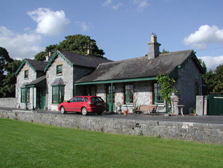 Horse and Jockey Railway StationRailway station · 811 yd
 Horse and Jockey Railway StationSignal box · 862 yd
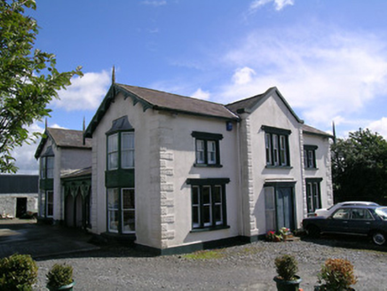 Parkstown CottageHouse · 1214 yd
 Grallagh CastleCastle · 1.2 mi
 Liskeveen HouseCountry house · 1.3 mi
 Ballybeg CastleCastle · 2.0 mi
 Sweet Chestnut2.4 mi
 European ash3.1 mi
 Lár na PáirceMuseum · 5.0 mi
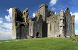 Rock of CashelHeritage attraction · 8.1 mi
 The Rock Of CashelVisitor information · 8.1 mi
Pictures: National Inventory of Architectural Heritage; Mike Searle, Wikimedia Commons · CC BY-SA 2.0; Miguel Angel Masegosa Martínez, Wikimedia Commons · CC BY 2.0; Willow, Wikimedia Commons · CC BY 2.5; Lár na Páirce Museum, Wikimedia Commons · CC BY 2.0; Neil Theasby, Geograph · CC BY-SA 2.0
More archaeology and monuments in County Tipperary · All of County Tipperary
What do you know about this place?