
What is recorded here
Situated on a slight rise of rock outcrop in gently undulating countryside. Described in the Civil Survey (1654-6) as 'the stumpe of an old castle and the ruines of an old Mill all wast' (Simington 1931 vol. 1, 67). 'Thomas Butler of Kilconell Esqr. Irish Papist' is listed as proprietor (ibid.). A tower house (ext. dims. N-S 9.9m; E-W 9.7m; wall T 2.35m), heavily modified in the eighteenth and nineteenth century, stands three storeys high and was built with roughly coursed limestone rubble with punch-dressed quoins and a slight base-batter. Most of the original windows have been blocked up and replaced by nineteenth-century brick windows and oculi. The original windows consisted of single-light flat and round-headed windows along with a single-light ogee-headed window and an angle loops at the SW and NW angles with an incomplete loop at the NE angle. The main doorway, two-centred with punch-dressed rebated jambs, is located at the centre of the S wall with a musket loop to the E of the doorway emanating from a guardroom accessed off the lobby. The lobby is protected by an overhead murder-hole and the guardroom is in the SE angle. Mural stairs are accessed off the lobby in the SW angle. All floors were wooden with wall-plates carried on corbels. There are musket loops on either side of the single-light windows in the N and W walls situated in specialised embrasures which have curving sides to accommodate the person holding the musket. A wall-walk with gothic crenellations is visible along with the crease line of the gabled roof of the original tower over second-floor level. A garderobe chute outlet is visible at the base of the N wall off-centre to the W. The crease line of the gable of a house can be seen on the E face along with partial wall-footings. According to the OS Letters about 50 yds to the SE were the remains of a gable of one of the outhouses (O'Flanagan 1930, vol. 3, 91). No remains of any such building survive. A circular drainage feature (TN048-031002-) has been identified on an aerial photograph but this is not associated with the tower house.
The above description is derived from 'The Archaeological Inventory of County Tipperary. Vol. 1 - North Tipperary' compiled by Jean Farrelly and Caimin O'Brien (Dublin: Stationery Office, 2002). In certain instances the entries have been revised and updated in the light of recent research.
Date of upload/revision: 22 September 2008
The monument record does not grant public access. Check the route and ask the landowner before entering private land.
- What survives
- Recorded monument
Places near here
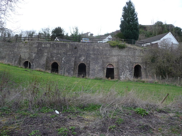 Enclosure in LiskeveenEnclosure · 100 yd
 Liskeveen Housedemesne walls/gates/railings · 370 yd
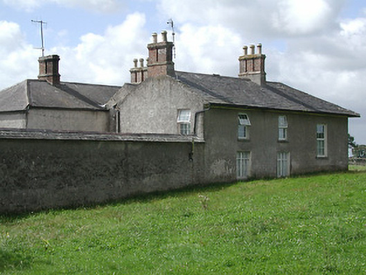 Kevinsfort Househouse · 403 yd
 Enclosure in Liskeveen,parkstownEnclosure · 580 yd
 Ballymoreen CastleCastle · 1162 yd
 Ballybeg CastleCastle · 1530 yd
 Horse and JockeyVisitor information · 1556 yd
 Gift Horse GalleryGallery · 1.3 mi
 Sweet ChestnutSweet Chestnut · 1.3 mi
 Gobban Saer's GraveArchaeological place · 1.8 mi
 Derrynaflan TrailHeritage attraction · 2.1 mi
 European ashEuropean ash · 2.3 mi
Other information
Photo: Credit not shown in the picture search · Rights wording not checked; contact us if this picture should be removed