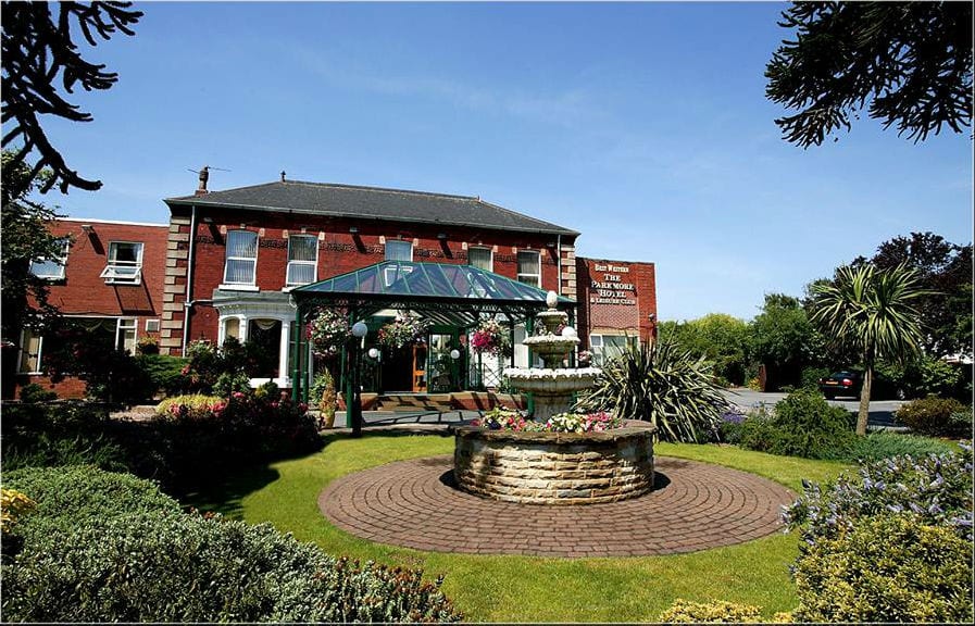
What is recorded here
In farmland. Marked on OS maps as a circular enclosure (diam c. 30m). Classified by McCaffrey (1952, 180, no. 4) as a circular ‘Earthen fort’ (diam. c. 53.4m max.) defined by a bank and external fosse with an entrance gap (Wth 1.8m) at E. A possible Man-made underground passage (GA103-023001-) is associated (Holt 1912, 233). The monument has been levelled but its outline is clearly visible on aerial photographs (https://binged.it/2iL8EnG last accessed 5 January 2017).
Compiled by: Galway Archaeological Survey, UCG
Date of upload: 5 January 2017
A local fairy fort (ringfort/rath); wider significance not recorded.
The monument record does not grant public access. Check the route and ask the landowner before entering private land.
- What survives
- Recorded monument
Places near here
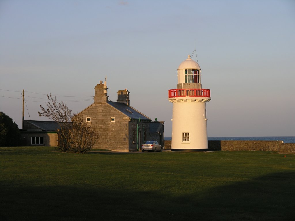 RathknockFairy fort / earthen ringfort · 435 yd
 Fulacht fia in Ballynamanagh WestFulacht fia · 536 yd
 CastleCastle, unclassified · 701 yd
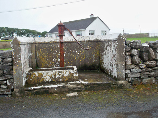 water pumpwater pump · 793 yd
 Mary Kate'shouse · 1017 yd
 Ballynacourty Court (in ruins)Castle, hall-house · 1386 yd
 Plumbtree FortArchaeological place · 1.4 mi
 MweenisharanIslet · 1.5 mi
 Mweenish PointHeadland · 1.7 mi
 South WoodWood · 2.1 mi
 Mweenish IslandIslet · 2.1 mi
 Drumacoo Monastic SiteHeritage attraction · 2.2 mi
Other information
Photo: Credit not shown in the picture search · Rights wording not checked; contact us if this picture should be removed