
What is recorded here
Triangular-shaped earthwork of 17th century built onto external face of Kilmallock town wall (LI047-022006-) at NW corner described by Thomas (1992, 132) as following; 'Other Fortifications, triangular earthen ditch and platform beyond fosse near NW corner, possibly remains of 17th century earthworks'.
Compiled by: Caimin O’Brien
Date of upload: 30 September 2019
The monument record does not grant public access. Check the route and ask the landowner before entering private land.
- What survives
- Recorded monument
Places near here
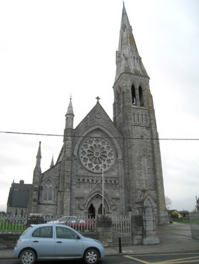 Catholic Church of Saint Peter and Saint Paulchurch/chapel · 93 yd
 Megalithic structure in Ash HillMegalithic structure · 136 yd
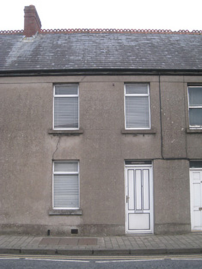 Church Viewhouse · 147 yd
 Kings CastleCastle, tower house · 258 yd
 King John's CastleCastle · 259 yd
 Town WallTown defences · 270 yd
 Kilmallock AbbeyHeritage attraction · 358 yd
 Site of Castle CooteBawn · 746 yd
 St Bridget's WellSpring · 1.9 mi
 Lady's WellSpring · 3.2 mi
 Holy Cross CemeteryGraveyard · 5.4 mi
 Ballyhoura tourist informationVisitor information · 5.5 mi
Other information
Photo: Credit not shown in the picture search · Rights wording not checked; contact us if this picture should be removed