What is recorded here
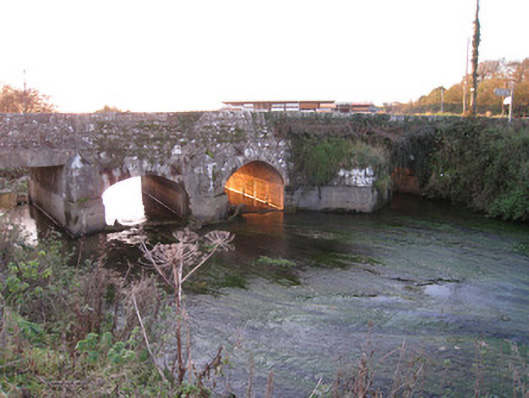
Five-arch road bridge over the River Loobagh, built c. 1800, rebuilt in 1916. Bridge may contain early medieval fabric. Random coursed rubble limestone walls with cast-iron ties and inscribed plaque to west parapet wall. Dressed voussoirs to round-headed arches. Limestone and cement V-cutwaters to north elevation. Square-headed arch having concrete lintel to south.
This well proportioned bridge incorporates an early limestone plaque, which is of some archaeological significance. The bridge may incorporate elements pre-dating the eighteenth and nineteenth centuries. As the road forms the main route leading north from Kilmallock, it is possible that a bridge was located there from the medieval period. The traditional construction in unrefined, locally sourced rubble stone produces an appealing textured visual effect, which integrates well with the surrounding landscape. The civil engineering significance of the composition is identified by the rendering of the elegant arches, which have retained their original profile. North Bridge was located adjacent to a now demolished Kilmallock Mill, while the Kilmallock Pound was located to the south of the bridge.
This does not grant access. Most recorded buildings are privately owned; view them only from public ground unless the owner allows entry.
Places near here
 Kilmallock MillWater mill, unclassified · 77 yd
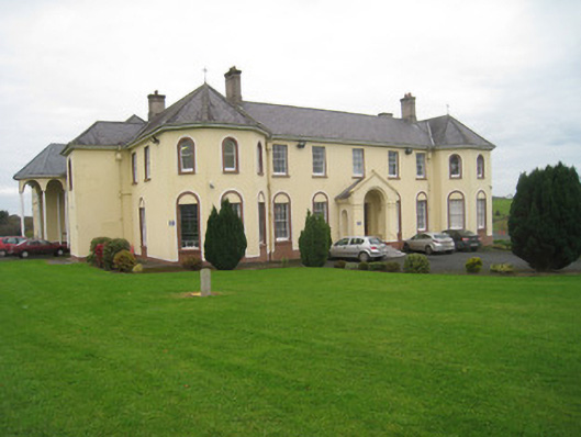 Coláiste Iósaefconvent/nunnery · 299 yd
 Outwork in Ash HillOutwork · 487 yd
 Kilmallock AbbeyHeritage attraction · 559 yd
 Megalithic structure in Ash HillMegalithic structure · 617 yd
 Kings CastleCastle, tower house · 632 yd
 King John's CastleCastle · 633 yd
 Site of Castle CooteBawn · 1231 yd
 St Bridget's WellSpring · 2.1 mi
 Lady's WellSpring · 3.4 mi
 Ballyhoura tourist informationVisitor information · 5.6 mi
 Holy Cross CemeteryGraveyard · 5.6 mi
Other information
Photo: National Inventory of Architectural Heritage · Website use allowed for educational or private purposes with source credit