
Places near here
Photo credits
- National Inventory of Architectural Heritage
- Steve & Jemma Copley on Flickr, Wikimedia Commons · CC BY-SA 2.0
- Richard Webb, Geograph · CC BY-SA 2.0
- Miguel Angel Masegosa Martínez, Wikimedia Commons · CC BY 2.0
- Charles T. G. Clarke, Wikimedia Commons · CC BY-SA 4.0
- 2ManyCats4Me, Wikimedia Commons · CC0
- Gillaween, Wikimedia Commons · CC BY-SA 4.0
Explorer Tom Fairy fort or earthen ringfort in Loughanstown Lower is getting picked on by the wind because it sits right on a boundary line. Half of it belongs to one side, half to another, and it looks exhausted. Perfect spot to practise your best tour-guide voice.
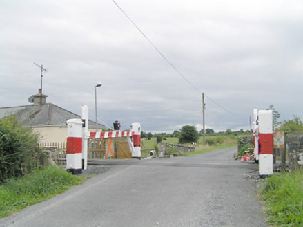 level crossing619 yd
Explorer Tom Level crossing in Clonwhelan is definitely doing yoga when nobody is looking, stretching those timber gates to their limit. It’s rare enough that it probably charges entry fees in secret. Count the crows, then act cool.
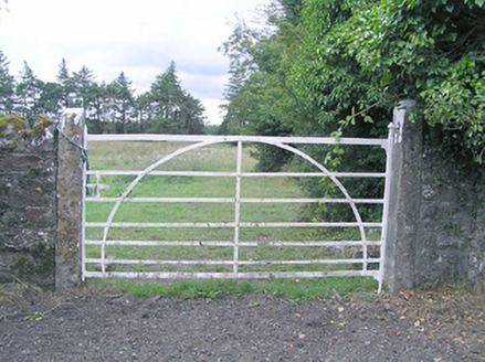 gates/railings/walls1079 yd
Explorer Tom Gates in Clonwhelan have wrought-iron details that scream 'I cost more than your car.' It would win the lotto and buy a new gate immediately. Go on, count the windows, just don’t ask them to open.
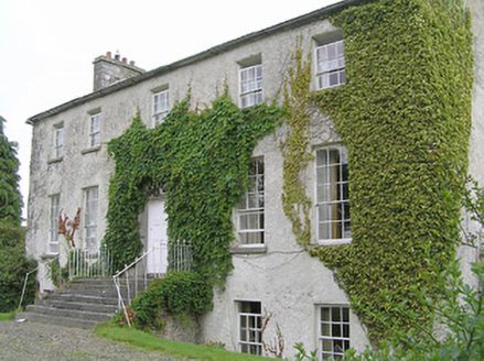 Clonwhelan HouseHouse · 1373 yd
Explorer Tom Clonwhelan House has an opinion on local sheep, which is that they’re too chatty for its classical symmetry. The block-and-start doorcase is all the drama it needs; no need for baaing interruptions. Bring a pen pal, they’ll bond over the limestone textures.
 Silver Fir1714 yd
 CastleCastle, motte · 1.4 mi
Explorer Tom Castle in Russagh handles its nosey neighbours by simply not being there anymore, which is the ultimate passive-aggressive move. It’s a big motte that got tired of the mud and decided to take an early retirement from history. Take the long way round, it deserves the effort.
 Sweet Chestnut2.1 mi
 Coolamber CastleHouse, fortified house · 3.6 mi
 Granard MotteMotte-and-bailey castle remains · 7.3 mi
Explorer Tom Granard Motte would describe the 1800s to a teenager as 'basically a long queue for nothing'. It's just a big mound pretending it remembers something important from the castle days. Spot the oldest stone and give it a name.
 1798 MonumentMonument · 7.4 mi
 Sheela-na-gig in AbbeylaraSheela-na-gig · 7.4 mi
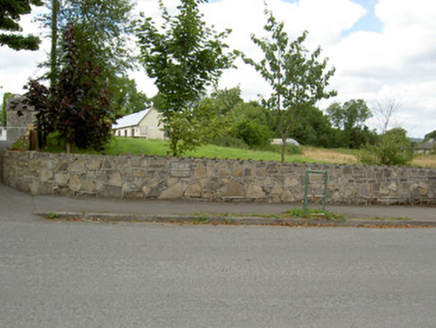 Bully's AcreGraveyard/cemetery, unknown · 8.8 mi
More archaeology and monuments in County Westmeath · All of County Westmeath

What do you know about this place?Tap to add a comment or ask a question