What is recorded here
Napoleonic fortification situated in a modern housing estate on the NW side of Athlone town, on an elevated site, abutting Athlone Canal to E and the River Shannon 475m to E. Annotated 'Ordnance Ground' and depicted on the 1837 OS 6-inch map as a substantial polygonal-shaped fortified complex (approx. dims. 380m…
Read the whole record
From the National Monuments Service (Archaeological Survey of Ireland) record WM029-011
Places near here
Photo credits
- National Inventory of Architectural Heritage
- Graham Horn, Geograph · CC BY-SA 2.0
- Pat Byrne, Geograph · Creative Commons Attribution-ShareAlike 2.0
- Peter Gerken, Wikimedia Commons · CC BY-SA 2.0
- PatWhelehan, Wikimedia Commons
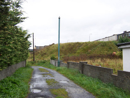 battery168 yd
Explorer Tom Battery in Bellaugh was built to stop Napoleon, but I reckon the builder was just thinking about where to park his…
 bridge229 yd
Explorer Tom Bridge in Bogganfin holds a fake world record for being the most stubbornly stationary structure you will ever see on a…
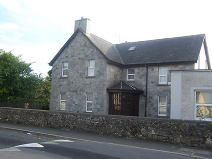 Fort HillHouse · 296 yd
Explorer Tom Fort Hill in Bellaugh sits up high pretending it’s a fortress, but it’s really just a house that likes to flex its…
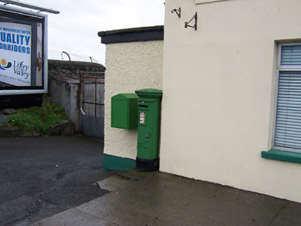 post box302 yd
Explorer Tom Post box in Bogganfin is sitting on Galway Road looking like it’s waiting for a letter that hasn’t arrived since the…
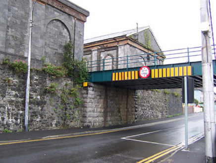 Athlone Midland Railway StationStore/warehouse · 363 yd
Explorer Tom Everyone asks this goods shed if it still smells like old coal, which is driving it absolutely mad. It’s part of a…
 Custume BarracksSports hall/centre/gymnasium · 382 yd
Explorer Tom Custume Barracks is writing 'military chic, good lift' on its dating profile and honestly? It’s a winner. The octagonal…
 canal (section of)578 yd
Explorer Tom Canal in Athlone was built to bypass shallow river spots, but it got stuck in traffic when the Shannon Navigation works…
 J. FawlHouse · 594 yd
Explorer Tom J. Fawl house in Athlone is in a bitter feud with the nearest tree because its roots keep invading the foundation. The…
 CastleCastle, unclassified · 1024 yd
Explorer Tom Cox's Castle in Athlone makes a weird groaning sound at night, probably because it’s thinking about its past life. It…
 WeirWeir, fish · 1118 yd
Explorer Tom Weir is a fish trap that has a very devoted, imaginary fan club of medieval monks who just couldn’t stop bragging about…
 Siege of AthloneSiege · 1166 yd
Explorer Tom Another Siege of Athlone event is telling the place that replaced it to stop acting so modern, as if concrete is…
 Burgess ParkPark · 1544 yd
Explorer Tom Burgess Park gives Athlone a green stretch on the east bank of the River Shannon, with paths and a playground close to…
More archaeology and monuments in County Westmeath · All of County Westmeath

What do you know about this place?Tap to add a comment or ask a question