What is recorded here
In level pasture, with good views in all directions. Possible enclosure (LI021-157003-) lies 50m to SSE and enclosure (LI021-157003-) lies 75m to SE. Annotated ‘Quarry’ and depicted on the 1897 ed. OS 25-inch map as an irregular-shaped quarry enclosed. Post-1700 quarry site identified as a possible enclosure in the Adare Bypass Constraint Study in (Ref. 31/A/2, p. 41). Site surveyed by the ASI in 2000 and described as no surface remains visible. Site of filled-in quarry is not visible on Digital Globe orthophotos taken 2011-13 or on Google Earth orthoimages taken 28/06/2018. Filled in 19th century quarry that had been enclosed by a 19th century field boundary.
See attached Google Earth orthoimage.
Compiled by: Alison McQueen and Vera Rahilly
Date of upload: 4 August 2020
See attached ASI aerial photographs ASIAP – taken on 04/03/2006.
The monument record does not grant public access. Check the route and ask the landowner before entering private land.
- What survives
- Recorded monument
Places near here
 Ivy Househouse · 313 yd
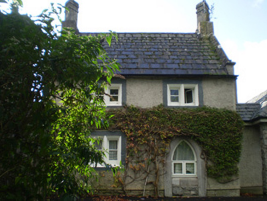 Park Lodgegate lodge · 932 yd
 Enclosure in BlackabbeyEnclosure · 1404 yd
 Adare Tourist OfficeVisitor information · 1.0 mi
 OutlinedEnclosure · 1.1 mi
 Garraunboy CastleCastle · 1.1 mi
 GinkgoGinkgo · 1.2 mi
 CastleCastle, tower house · 1.2 mi
 European YewEuropean Yew · 1.3 mi
 Desmond CastleHeritage attraction · 1.5 mi
 Adare Desmond CastleMedieval castle · 1.5 mi
 Flat cemetery in Kiltenan SouthFlat cemetery · 2.3 mi