What is recorded here
Situated on a low rise, in gently undulating pasture. Depicted on the 1837 ed. OS 6-inch map as a rectangular-shaped tree-plantation. Depicted on the revised 1913 ed. OS 25-inch map as a subrectangular-shaped field (approx. dims 62m N-S x 67m E-W). Monument described in 1981 as no surface remains visible. Field boundaries remain to form the W and N sides and those to E and S have been removed. Monument is visible today as a subrectangular-shaped area defined by a field boundary to W and N and by a linear cropmark to E and S, on Digital Globe aerial photography.
Compiled by Alison McQueen, Vera Rahilly and Caimin O’Brien.
Date of upload: 06 November 2019
The monument record does not grant public access. Check the route and ask the landowner before entering private land.
- What survives
- Recorded monument
Places near here
 CrossCross, Wayside cross · 833 yd
 Ecclesiastical site in CrossanstownEcclesiastical site · 908 yd
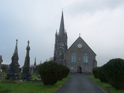 Saint Agnes's Catholic Churchchurch/chapel · 1462 yd
 Griffinstown Housedemesne walls/gates/railings · 1.1 mi
 Heathstown CastleCastle, tower house · 1.2 mi
 CastleCastle, unclassified · 1.7 mi
 Rahin WoodsForest · 7.3 mi
 Roundhill WoodForest · 7.5 mi
 Croppies' GraveMemorial · 7.7 mi
 Hut site in BallinlaHut site · 1197 yd
 OutlinedFairy fort / earthen ringfort · 1.1 mi
 IndicatedFairy fort / earthen ringfort · 1.1 mi