What is recorded here
Situated on a slight rise on low lying boggy land. The possible enclosure depicted on the 1914 ed. OS 6-inch map has been levelled. No surface remains visible. It is doubtful if this was even an antiquity. Not depicted as an antiquity on any edition of the OS 6-inch map. Small field or paddock of 19th century date.
From the National Monuments Service (Archaeological Survey of Ireland) record WM016-028
The monument record does not grant public access. Check the route and ask the landowner before entering private land.
- What survives
- Recorded monument
Places near here
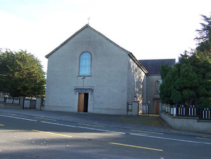 Catholic Church of the Immaculate ConceptionChurch/chapel · 1254 ydCrossMass-rock · 1422 ydNoughaval CemeteryArchaeological place · 1683 yd
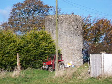 mill (wind)1728 ydBawn in Cannorstown (hogan)Bawn · 1.3 mi
 CastleCastle, motte and bailey · 1.6 mi
 European Beech2.0 mi
 Leveret IslandIslet · 4.2 miTarget WoodWood · 4.4 miNewcastle WoodsForest · 4.6 mi
 InchbofinIslet · 5.0 mi
 Ecclesiastical enclosure in InchbofinEcclesiastical enclosure · 5.0 mi
Pictures: National Inventory of Architectural Heritage; Kieran Campbell, Wikimedia Commons · CC BY-SA 2.0; Malene Thyssen, Wikimedia Commons · CC BY-SA 3.0; David Baird, Geograph · CC BY-SA 2.0; David Baird, Wikimedia Commons · CC BY-SA 2.0; Sailko, Wikimedia Commons · CC BY 3.0
More archaeology and monuments in County Westmeath · All of County Westmeath
What do you know about this place?