What is recorded here
Children's burial ground (WM016-025----) located immediately to NW. This site was surveyed and described in 1980 as following; 'According to the landowner the 'cross' was a large limestone boulder on which mass was said in Penal Times. The adjoining enclosure (WM016-024001-), now destroyed, was a children's burial ground (WM016-025----) although no burials have taken place there since the turn of the century. A few large boulders now lie along the nearby field fence. These boulders appear to have no archaeological significance. It is called 'The Cross of Carrick' on the OS Fair Plan' (SMR file). In 1837 the Ordnance Survey Field Name Books recorded the following details abut the cross; ‘It is situated nearly in the centre of the relic na pastha [WM016-025----]. This cross was in former days where a R.C. Alter [sic] stood, the track of which at present is scarcely to be observed’ (OSNB)
Compiled by: Caimin O'Brien
Date of upload: 30 November 2009
Children's burial ground (WM016-025----) located immediately to NW. This site was surveyed and described in 1980 as following; 'According to the landowner the 'cross' was a large limestone boulder on which mass was said in Penal Times. The adjoining enclosure (WM016-024001-), now destroyed, was a children's burial ground (WM016-025----) although no burials have taken place there since the turn of the century. A…
From the National Monuments Service (Archaeological Survey of Ireland) record WM016-024
This remains an important historical record, but the official description says the monument is no longer visible or has been destroyed. The monument record does not grant public access. Check the route and ask the landowner before entering private land.
- What survives
- No visible remains or recorded as destroyed
Places near here
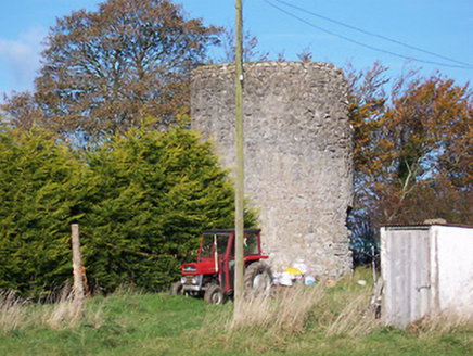 mill (wind)671 yd
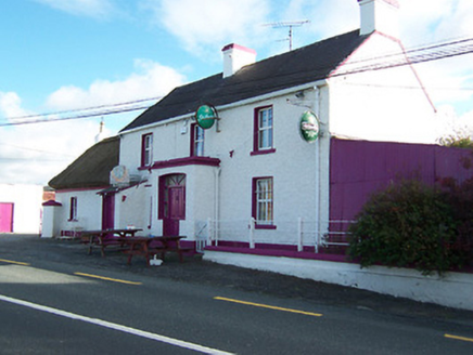 Three Jolly PigeonsHouse · 813 ydBawn in Cannorstown (hogan)Bawn · 1106 ydOutlinedFairy fort / earthen ringfort · 1129 ydNoughaval CemeteryArchaeological place · 1.7 mi
 CastleCastle, motte and bailey · 2.1 mi
 European Beech2.4 mi
 Leveret IslandIslet · 3.4 mi
 InchbofinIslet · 4.2 mi
 Ecclesiastical enclosure in InchbofinEcclesiastical enclosure · 4.2 miPortlick Millennium ForestWood · 4.5 miKillinure BayBay · 4.5 mi
Pictures: National Inventory of Architectural Heritage; Kieran Campbell, Wikimedia Commons · CC BY-SA 2.0; Malene Thyssen, Wikimedia Commons · CC BY-SA 3.0; David Baird, Geograph · CC BY-SA 2.0; David Baird, Wikimedia Commons · CC BY-SA 2.0; Sailko, Wikimedia Commons · CC BY 3.0
More archaeology and monuments in County Westmeath · All of County Westmeath
What do you know about this place?