What is recorded here
In level pasture. Circular area (diam. c. 38m N-S; 42.5m E-W) defined by a poorly preserved earthen bank mainly reduced to a scarp enclosed by a deep fosse, earth and stone bank, outer fosse with slight remains of a second external bank only visible from W-N. On S side of the ringfort, the external bank is incorporated into a post-1700 field boundary running E-W. Possible causewayed entrance gap (Wth 2m) at SE. Depicted as a rectangular tree plantation, similar to a moated site on the 1837 ed. OS 6-inch map. On the revised 1910 ed. OS 6-inch map the monument is hachured as a large circular bivallate ringfort.
In level pasture. Circular area (diam. c. 38m N-S; 42.5m E-W) defined by a poorly preserved earthen bank mainly reduced to a scarp enclosed by a deep fosse, earth and stone bank, outer fosse with slight remains of a second external bank only visible from W-N. On S side of the ringfort, the external bank is incorporated into a post-1700 field boundary running E-W. Possible causewayed entrance gap (Wth 2m) at SE.…
From the National Monuments Service (Archaeological Survey of Ireland) record WM033-048
The monument record does not grant public access. Check the route and ask the landowner before entering private land.
- What survives
- Recorded monument
Places near here
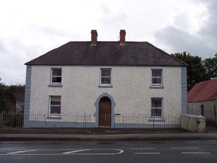 Sycamore HouseHouse · 169 yd
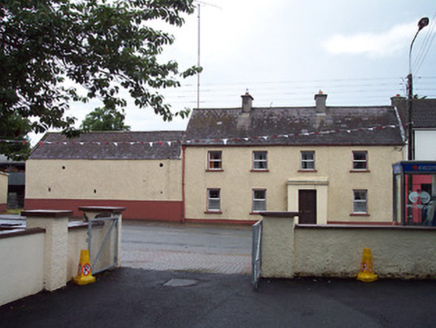 Historic buildingOfficially recorded historic building · 223 yd
 CastleCastle, unclassified · 1.0 miEnclosure in Castlelost WestEnclosure · 1.1 miPartially hachuredEnclosure · 1.1 miDerrygreenagh HillMountain / peak · 2.4 miKnockdrin HillMountain / peak · 3.4 mi
 Tyrrellspass CastleCastle, tower house · 3.7 mi
 Croghan HillMountain / peak · 4.6 miCroghan Hill WalkWalking route · 4.8 miFinnrenashark Holy WellSpring · 4.9 mi
 Cherry IslandWood · 5.0 mi
Pictures: National Inventory of Architectural Heritage; MookiePlays, Wikimedia Commons · CC BY-SA 4.0; Brian Shaw, Wikimedia Commons · CC BY-SA 2.0; Sarah777 at en.wikipedia, Wikimedia Commons · Public domain; kevin higgins, Geograph · CC BY-SA 2.0
More archaeology and monuments in County Westmeath · All of County Westmeath
What do you know about this place?