What is recorded here
Cropmark of roughly circular-shaped enclosure (approx. diam. 46m) visible on Google earth aerial imagery. See attached image taken from Google Earth aerial photographs taken 28/06/2018
Compiled by: Caimin O'Brien based on details provided by Jean-Charles Caillère
Date of upload: 07 May 2019
From the National Monuments Service (Archaeological Survey of Ireland) record WM033-075
The monument record does not grant public access. Check the route and ask the landowner before entering private land.
- What survives
- Recorded monument
Places near here
 CastleCastle, unclassified · 409 yd
 Far View HouseHouse · 657 yd
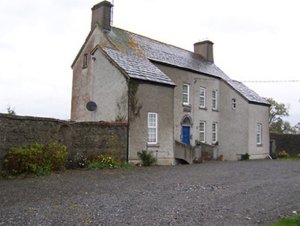 West HouseHouse · 691 ydEcclesiastical enclosure in CastlelostEcclesiastical enclosure · 784 ydPartially hachuredEnclosure · 893 yd
 Tyrrellspass CastleCastle, tower house · 3.2 miDerrygreenagh HillMountain / peak · 3.5 mi
 Cherry IslandWood · 4.0 mi
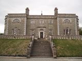 Belvedere house and gardensVisitor information · 4.4 miBlind IslandIslet · 4.4 miKnockdrin HillMountain / peak · 4.5 mi
 Croghan HillMountain / peak · 5.3 mi
Pictures: MookiePlays, Wikimedia Commons · CC BY-SA 4.0; National Inventory of Architectural Heritage; Brian Shaw, Wikimedia Commons · CC BY-SA 2.0; kevin higgins, Geograph · CC BY-SA 2.0; Liam Hughes from Milwaukee, WI, USA, Wikimedia Commons · CC BY 2.0; Sarah777 at en.wikipedia, Wikimedia Commons · Public domain
More archaeology and monuments in County Westmeath · All of County Westmeath
What do you know about this place?