What is recorded here
Situated on a low rise, in pasture, with good views of the surrounding landscape. In NW quadrant of ringfort (WM038-033----) are the remains of a small square-shaped house site defined by stone walls. The walls are surrounded by loose stone which probably represents collapse from the upper walls. The monument is densely overgrown rendering close examination difficult. Ringfort and house site levelled in the early 1980s. Not visible today on Digital Globe aerial photography.
Compiled by Alison McQueen, Vera Rahilly and Caimin O’Brien.
Date of upload: 18 December 2019
The monument record does not grant public access. Check the route and ask the landowner before entering private land.
- What survives
- Recorded monument
Places near here
 CloghstuckArchaeological place · 984 yd
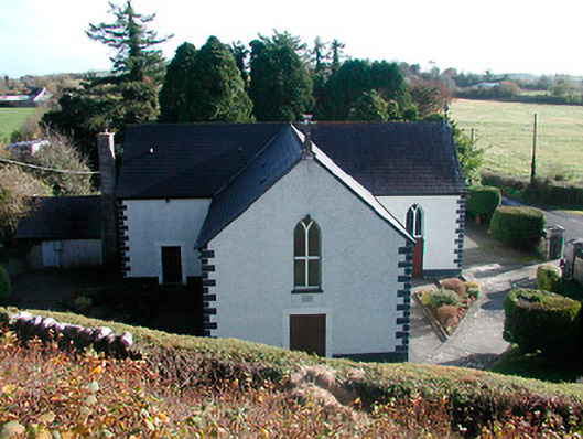 Saint Hugh's Catholic Churchchurch/chapel · 1489 yd
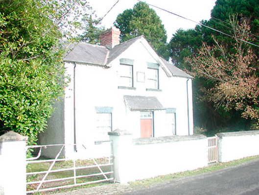 presbytery/parochial/curate's house, building miscpresbytery/parochial/curate's house, building misc · 1509 yd
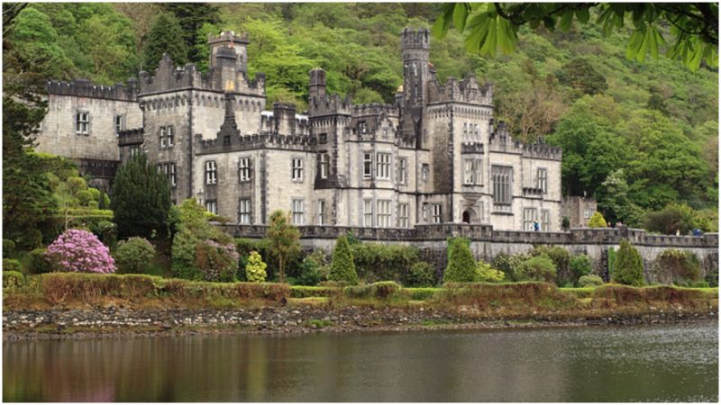 Kiltober CastleCastle, tower house · 1697 yd
 StructureStructure, peatland · 1.0 mi
 Ardan WoodWood · 1.1 mi
 Montrath Castle (in ruins)Castle, tower house · 1.4 mi
 Bonfire HillMountain / peak · 2.0 mi
 Lackan HillMountain / peak · 2.2 mi
 Bracklin WoodWood · 3.1 mi
 Graveyard in BallycommonGraveyard · 4.8 mi
 St. Columba's WellSpring · 4.9 mi