
Places near here
Photo credits
- National Inventory of Architectural Heritage
- Mike Searle, Geograph · CC BY-SA 2.0
- Wayne77, Wikimedia Commons · CC BY-SA 3.0
- Kmcnamee, Wikimedia Commons · CC BY-SA 4.0
- Maker named on the Wikimedia Commons picture page · CC BY-SA 2.5
- Jamesco101, Wikimedia Commons · CC BY-SA 4.0
- dougf, Wikimedia Commons · CC BY-SA 2.0
Explorer Tom Ringfort in Ballinaspick has vanished so completely that the fairies probably fought over who gets to keep the parking…
 Killgarvan HouseHouse · 481 yd
Explorer Tom Killgarvan House has a prophecy that it will win the lottery, but it forgot to buy the ticket. The outbuildings are…
IndicatedField system · 1009 ydExplorer Tom Field system in Bracknahevla sits near a castle called Sam’s Park, which is a name that demands explanation. It does…
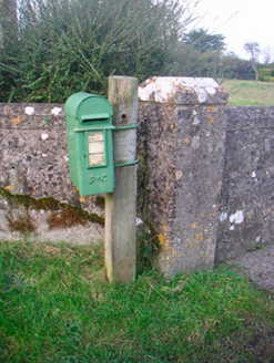 post box1651 yd
Explorer Tom This post box in Aghafin is pretending to have an imaginary twin across the sea. It’s still taking letters like it…
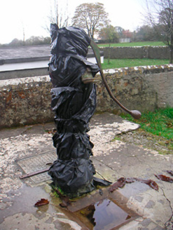 water pump1756 yd
Explorer Tom The water pump in Bracknahevla would put on its dating profile: 'Rustic, reliable, and I know where all the clean water…
 Laragh CastleCastle · 1.7 mi
Explorer Tom Laragh Castle is a McGeoghan tower standing next to a public road, judging every car that drives past with its…
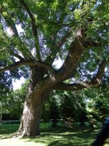 Japanese pagoda tree1.7 mi
Explorer Tom Japanese pagoda tree in County Westmeath was once ruled by a goat who decided it had the best view of the grazing land…
 St. Joseph's GAA pitchGAA ground · 2.0 miRosemount GAAGAA ground · 2.3 mi
 Sessile Oak7.5 mi
Explorer Tom Sessile Oak in County Westmeath is standing there looking distinctly smug, probably judging your life choices from its…
 Abbeyshrule AbbeyRuins · 9.4 mi
Explorer Tom Abbeyshrule Abbey in Longford was nearly sold off as a very expensive horse stable back in the day, thank god. The…
 Esker CastleCastle, tower house · 12 mi
Explorer Tom Esker Castle in County Offaly had a prophecy that it would one day be covered in trees, and look, it has. It sits at…
More archaeology and monuments in County Westmeath · All of County Westmeath

What do you know about this place?Tap to add a comment or ask a question