What is recorded here
Situated on a slight rise, in pasture. Depicted on the revised 1910 ed. OS 25-inch map as a circular-shaped earthwork. Monument described in 1973 as a roughly circular-shaped area (approx. diam. 25m) enclosed by a low bank and external fosse. The interior is much overgrown and is difficult to inspect it. The surface appears to be fairly level with some stones scattered across it. Monument is visible today as a roughly circular-shaped tree-planted earthwork on Digital Globe aerial photography.
Compiled by Alison McQueen, Vera Rahilly and Caimin O’Brien.
Date of upload: 12 November 2019
The monument record does not grant public access. Check the route and ask the landowner before entering private land.
- What survives
- Recorded monument
Places near here
 OutlinedEnclosure · 368 yd
 Partially indicatedEnclosure · 724 yd
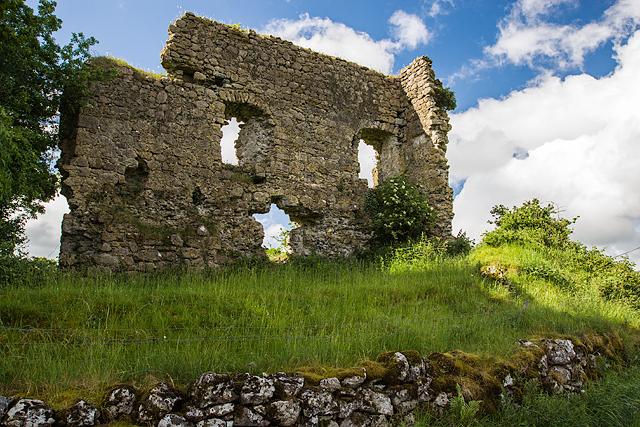 Laragh CastleCastle · 1570 yd
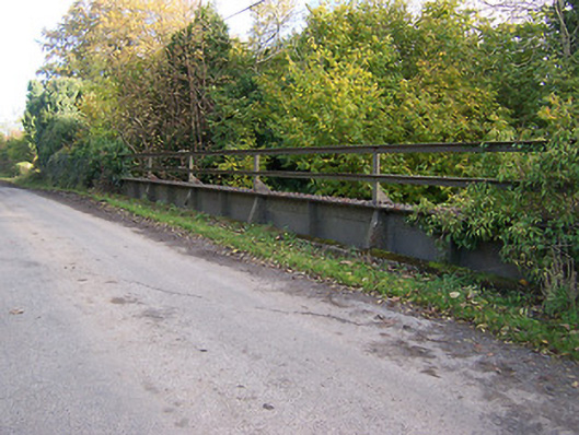 bridgebridge · 1596 yd
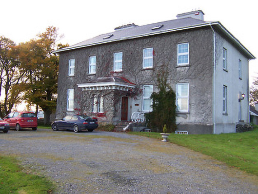 Streamstown Housecountry house · 1736 yd
 KnockastiaMountain / peak · 1742 yd
 Bishopstown Castle in ruinsCastle, unclassified · 1.3 mi
 Japanese pagoda treeJapanese pagoda tree · 1.4 mi
 Sam's ParkForest · 1.5 mi
 Kilmalady HillMountain / peak · 4.3 mi
 Charles BianconiMemorial · 5.4 mi
 The Bob Traynor GalleryGallery · 5.5 mi