
What is recorded here
Situated on a prominent natural hillock, on the NE shoulder of a hill, in pasture, with extensive views from WNW-N-E-ESE and overlooked by higher ground in all other directions. Annotated 'Fort' on the 1837 OS Fair Plan map and depicted s a rectangular-shaped enclosure or small field. Shown on the revised 1913 ed. OS 25-inch map as a trapezoidal-shaped enclosure (approx. dims. 31m NE-SW; max. 28m NW-SE). Monument described in 1982 as no surface remains visible. All of the field fences shown on the OS maps in this vicinity have been removed. Levelled enclosure is not visible today on Digital Globe aerial photography.
Compiled by Alison McQueen, Vera Rahilly and Caimin O’Brien.
Date of upload: 13 November 2019
The monument record does not grant public access. Check the route and ask the landowner before entering private land.
- What survives
- Recorded monument
Places near here
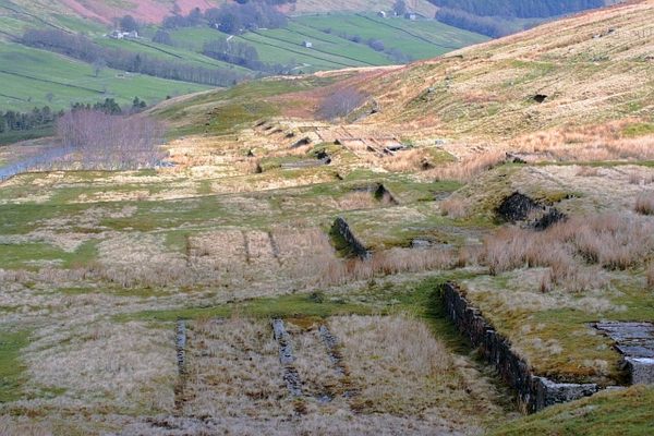 Partially hachuredFairy fort / earthen ringfort · 900 yd
 Partially indicatedEnclosure · 975 yd
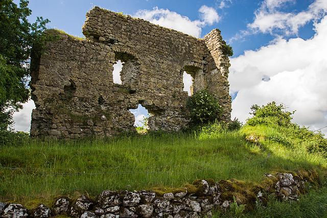 Laragh CastleCastle · 1364 yd
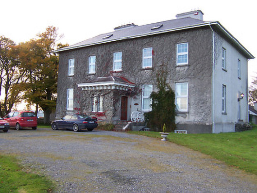 Streamstown Housecountry house · 1408 yd
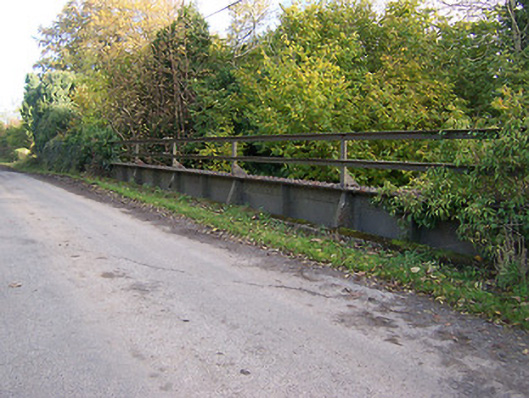 bridgebridge · 1524 yd
 KnockastiaMountain / peak · 1.2 mi
 Bishopstown Castle in ruinsCastle, unclassified · 1.5 mi
 Sam's ParkForest · 1.6 mi
 Japanese pagoda treeJapanese pagoda tree · 1.6 mi
 Kilmalady HillMountain / peak · 4.2 mi
 Charles BianconiMemorial · 5.5 mi
 The Bob Traynor GalleryGallery · 5.6 mi
Other information
Photo: Credit not shown in the picture search · Rights wording not checked; contact us if this picture should be removed