
What is recorded here
Outline of monument is visible as a circular-shaped enclosure (approx. diam. 48m) bisected by a modern road on Digital Globe aerial photography.
Compiled by Alison McQueen, Vera Rahilly and Caimin O’Brien.
Date of upload: 13 November 2019
A local fairy fort (ringfort/rath); wider significance not recorded.
The monument record does not grant public access. Check the route and ask the landowner before entering private land.
- What survives
- Recorded monument
Places near here
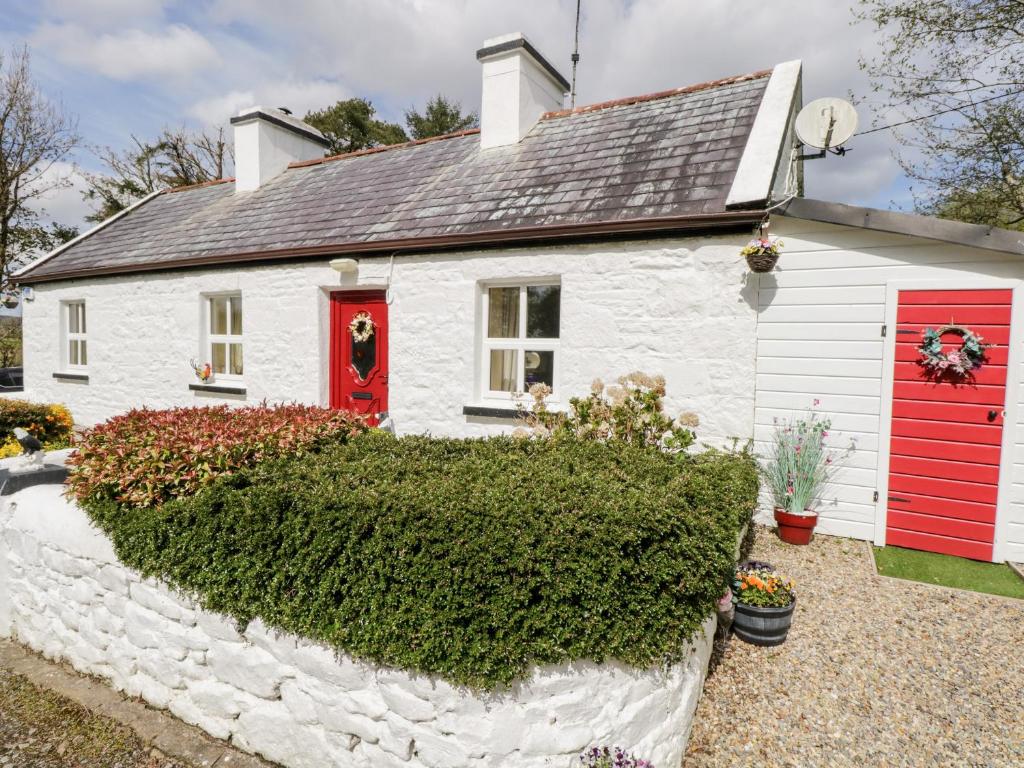 OutlinedFairy fort / earthen ringfort · 641 yd
 Partially hachuredFairy fort / earthen ringfort · 758 yd
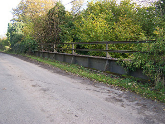 bridgebridge · 1270 yd
 KnockastiaMountain / peak · 1307 yd
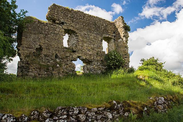 Laragh CastleCastle · 1523 yd
 Ancient Chapel (in Ruins)Church · 1594 yd
 Japanese pagoda treeJapanese pagoda tree · 1.2 mi
 Bishopstown Castle in ruinsCastle, unclassified · 1.4 mi
 Sam's ParkForest · 1.8 mi
 Kilmalady HillMountain / peak · 4.2 mi
 Charles BianconiMemorial · 5.0 mi
 The Bob Traynor GalleryGallery · 5.1 mi
Other information
Photo: Credit not shown in the picture search · Rights wording not checked; contact us if this picture should be removed