What is recorded here
An irregular shaped tree-lined earthwork or enclosure is visible on Bing Maps aerial photograph (pers. comm. C. McCormack). This enclosure is outlined on the 1910 ed. OS 25-inch map where it is depicted as an irregular-shaped grove of trees and not as an antiquity. No archaeological monument or any earthwork is depicted at this location on the 1837 ed. OS 6-inch map. Probably the remains of a tree-ring or grove of trees dating from the late 1800s or early 1900s which was planted to enclose an area of marsh land.
Compiled by: Caimin O’Brien
Date of upload: 13 February 2014
The monument record does not grant public access. Check the route and ask the landowner before entering private land.
- What survives
- Recorded monument
Places near here
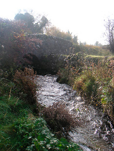 bridgebridge · 1225 yd
 wellwell · 1264 yd
 Enclosure in ClonybaneEnclosure · 1295 yd
 Bawn in ClareBawn · 1637 yd
 OutlinedEnclosure, large enclosure · 1744 yd
 Plary Monastery (in Ruins)Castle, tower house · 1.4 mi
 Japanese pagoda treeJapanese pagoda tree · 2.0 mi
 KnockastiaMountain / peak · 2.5 mi
 Sam's ParkForest · 2.9 mi
 Hill of UisneachMountain / peak · 4.5 mi
 Dún na Sí Heritage CentreMuseum · 5.4 mi
 Noughaval CemeteryArchaeological place · 5.9 mi