What is recorded here
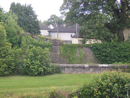
Situated on a low rise in pasture with moderate views of the surrounding landscape. Annotated 'Fort' on the 1837 OS Fair Plan map and depicted as a circular-shaped tree-lined enclosure to NW of Ardmore House. Depicted on the 1837 ed. OS 6-inch map as a circular-shaped tree-lined enclosure (approx. dims. 62m N-S; 63m E-W). Levelled monument described in 1980 as no surface remains visible. Faint curvilinear cropmark of levelled enclosure barely visible on Digital Globe aerial photography. Possible ringfort or tree-ring on the demesne lands of Ardmore House.
From the National Monuments Service (Archaeological Survey of Ireland) record WM019-078
Places near here
Photo credits
- National Inventory of Architectural Heritage
- kevin higgins, Wikimedia Commons · CC BY-SA 2.0
- Aerobug/Grace, Wikimedia Commons · CC BY-SA 4.0
- Copper1993, Wikimedia Commons · CC BY-SA 4.0
- Brian Shaw, Geograph · CC BY-SA 2.0
- Bridget Neville, Wikimedia Commons · CC BY-SA 4.0
- kevin higgins, Geograph · CC BY-SA 2.0
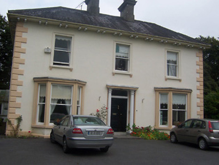 GlenmoreHouse · 937 yd
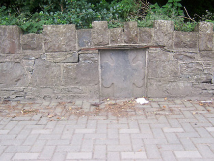 monument1031 yd
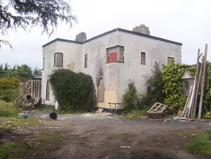 ArdeevinHouse · 1179 yd
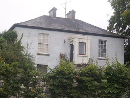 ProspectHouse · 1219 yd
 Saunder's BridgeBridge · 1274 yd
 Millmount HouseBuilding misc · 1330 yd
 harbour/dock/port1350 yd
 Augustinian Monks Memorial StatueMemorial · 1.1 mi
 Courthouse in MullingarCourthouse · 1.2 mi
 Famine MemorialMemorial · 1.3 mi
 Saint Brigid's WellSpring · 2.7 mi
 Church IslandIsland · 4.2 mi
More archaeology and monuments in County Westmeath · All of County Westmeath

What do you know about this place?Tap to add a comment or ask a question