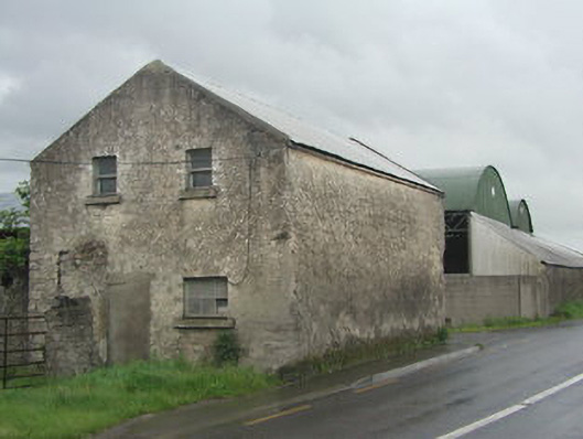
What is recorded here
Detached two-storey farm outbuilding, c.1850, with two-bay gable ends. Rendered walls. Blind wall to street with chamfered corners. Timber sash and casement windows. Corrugated aluminium pitched roof. Adjoining rubble stone walls of demolished outbuildings to south-east and ruinous cottages to north-east.
The chamfered corners of this outbuilding indicate the volume of horse-drawn traffic originally passing into the farm complex. Such buildings following the road line sheltered the farm yard and were a characteristic feature of Irish agriculture. This farm was associated with the now-demolished Milltown House.
From the Buildings of Ireland (National Inventory of Architectural Heritage) record 11208006
This does not grant access. Most recorded buildings are privately owned; view them only from public ground unless the owner allows entry.
Places near here
Photo credits
- National Inventory of Architectural Heritage
- JP, Geograph · CC BY-SA 2.0
- jwd, Geograph · CC BY-SA 2.0
- Sitomon, Wikimedia Commons · CC BY-SA 2.0
- Mike Searle, Geograph · CC BY-SA 2.0
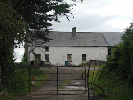 farm house86 yd
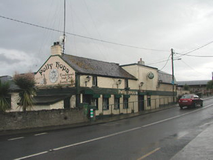 Polly Hop'sHouse · 104 ydRing-ditch in Milltown (newcastle By.)Ring-ditch · 511 ydEnclosure in KilmactalwayEnclosure · 588 ydKilbride Castle (site of)Castle, unclassified · 1743 yd
 Grand Canal WayWalking route · 1.5 miEarly Stadium DesignHeritage attraction · 1.7 miFairy WoodWood · 1.9 mi
 Griffeen Valley WalkWalking route · 2.0 mi
 European Yew2.2 mi
 CastleCastle, tower house · 2.4 miMeadow WildlifeVisitor information · 2.5 mi
More historic places in County Dublin · All of County Dublin
What do you know about this place?