What is recorded here
Two concentric enclosures (ext. diam 60.65m N-S) are visible as a crop mark on an aerial photograph (SMR file; pers. comm. Tom Condit, 11 March 2015). The landscape setting is a tillage field in flat terrain with extensive views in all directions. DU020-112----_01.jpg: Aerial view showing the crop mark (from Google Maps, accessed 12 March 2015).
Two concentric enclosures (ext. diam 60.65m N-S) are visible as a crop mark on an aerial photograph (SMR file; pers. comm. Tom Condit, 11 March 2015). The landscape setting is a tillage field in flat terrain with extensive views in all directions.
From the National Monuments Service (Archaeological Survey of Ireland) record DU021-112
The monument record does not grant public access. Check the route and ask the landowner before entering private land.
- What survives
- Recorded monument
Places near here
Photo credits
- National Inventory of Architectural Heritage
- JP, Geograph · CC BY-SA 2.0
- Sitomon, Wikimedia Commons · CC BY-SA 2.0
- Mike Searle, Geograph · CC BY-SA 2.0
- Colin Park, Geograph · CC BY-SA 2.0
- Hamish Bain, Wikimedia Commons · CC BY-SA 2.0
- 瑞丽江的河水, Wikimedia Commons · CC BY-SA 4.0
- Robert Bone, Geograph · CC BY-SA 2.0
- David Medcalf, Geograph · CC BY-SA 2.0
- Delatorre, Wikimedia Commons · CC BY-SA 3.0
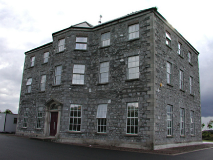 Castle Bagot HouseCountry house · 473 yd
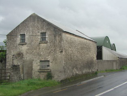 outbuilding588 yd
 Grand Canal WayWalking route · 1.5 mi
 European Yew2.0 mi
 CastleCastle, tower house · 2.2 mi
 Cupidstown HillMountain / peak · 6.2 mi
 CastleCastle, tower house · 9.2 mi
 Rath Turtle MoatFairy fort / ringfort · 10 mi
 Rath Turtle MoatArchaeological place · 10 mi
 Sorrel HillMountain / peak · 12 mi
 Lambay HarbourBeach / strand · 22 mi
 Lambay IslandIsland · 22 mi
More archaeology and monuments in County Dublin · All of County Dublin
What do you know about this place?