
What is recorded here
Single arch road bridge over the River Dodder, built c.1800, and widened westwards c.1980. Span and length c.15 metres. Prominent granite voussoirs in ashlar east elevation with string course and tapered projecting ashlar piers. Similar construction in west elevation, except cast concrete under. Parapet with granite coping, up to four feet high.
This sturdy single arch bridge, is typical of other Dodder bridges that have been widened for the modern day needs of traffic. As with most bridges, it is best appreciated from the riverbank, and the observer might note the incredible exactness of copy between the west and east elevations.
From the Buildings of Ireland (National Inventory of Architectural Heritage) record 11215021
This does not grant access. Most recorded buildings are privately owned; view them only from public ground unless the owner allows entry.
Places near here
 weir20 ydWaterfall viewing pointHeritage attraction · 51 yd
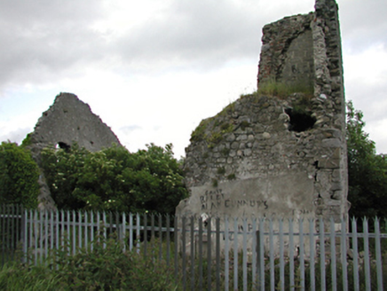 Allenton HouseCountry house · 513 ydJim Lawlor Bridge PlaqueVisitor information · 738 ydGary Miller MemorialMemorial · 1111 ydBancrofts CastleCastle, tower house · 1511 yd
 Font in TallaghtFont · 1739 yd
_-_20180125125204.jpg/250px-County_Dublin_-_St_Colmcille's_Well_(Oldcourt)_-_20180125125204.jpg "Photo: Syncretists, Wikimedia Commons · CC BY-SA 4.0") St Columkilles WellHoly well · 1.3 mi
St Columkilles WellHoly well · 1.3 mi Montpelier HillMountain / peak · 2.0 mi
 Austin Clarke BridgeMemorial · 2.3 mi
 Belgard CastleCastle · 2.3 mi
 Massey WoodWood · 2.6 mi
Pictures: National Inventory of Architectural Heritage; 瑞丽江的河水, Wikimedia Commons · CC BY-SA 4.0; Syncretists, Wikimedia Commons · CC BY-SA 4.0; Joe King, Wikimedia Commons · CC BY-SA 3.0; JP, Geograph · CC BY-SA 2.0; F. Elrington Ball, Wikimedia Commons · Public domain; Alan James, Geograph · CC BY-SA 2.0
More historic places in County Dublin · All of County Dublin
What do you know about this place?