DDiscover AloneMapAbout

Old Signal Tower

Signal tower
Computer-made picture that does not show Old Signal TowerNot a photo of this monument
Computer-made picture. It does not show this monument. · Report the wrong picture

The monument record does not grant public access. Check the route and ask the landowner before entering private land.

What do you know about this place?Tap to add a comment or ask a question

What you write will be public.

What is recorded here

Situated approximately 400m SE of the summit of Glensky Hill (253m OD). Located at the edge of a ridge that leads to the summit. The ground slopes steeply down to the S and rises moderately to the N. The surrounding area consists of unenclosed blanket bog. The signal tower has unobstructed views to the E, S and W, but…

Read the whole record
Situated approximately 400m SE of the summit of Glensky Hill (253m OD). Located at the edge of a ridge that leads to the summit. The ground slopes steeply down to the S and rises moderately to the N. The surrounding area consists of unenclosed blanket bog. The signal tower has unobstructed views to the E, S and W, but the rising ground to the N obstructs the view. The adjacent signal stations, Benwee Head (MA004-025----), located c. 13.78kms to the W\WNW, and Creevagh (MA007-015002-), located c. 21.96ksm to the E, are collapsed\demolished and can no longer be seen from the site. The coast to the N cannot be seen from this location. Observations of the coast may have been made from a point further to the N and information could have been carried or signalled back to the signal station as required. Site located c. 1.63 kms SW of a coastal promontory fort (MA001-001----) located at the tip of Benwee Head and c. 2.12kms ENE of another coastal promontory fort (MA003-001----). An early nineteenth-century (c. 1804-6) two-storey square-plan signal tower, built with roughly coursed rubble stone masonry. The signal tower has collapsed, and only parts of the ground floor level walls remain upstanding (above ground). The walls define a square building (ext. dims. c. 5.8m N-S x c. 5.8m E-W) with its walls facing N, E, S and W. The best-preserved part of the signal tower is to the N elevation (H c. 2.47m) with lower sections surviving to the E (max H c. 1.1m), W (max H c. 1.4m) and S (max H c. 1m) elevations. The S wall features a small square chute low down on the W portion of the wall which is likely to have passed into the semi-basement level or the base of the ground floor. The presence of this feature suggests that the first floor doorway would have been located on the N wall, that the E and W elevations originally featured the pairs of window at ground and first floor levels, and that the S wall would have contained central fireplaces on the ground floor and first floor levels flanked to either side by alcoves. The signal tower is surrounded on the E, S and W by a dense spread of rubble masonry. Given the length of the spread of rubble to the S, it seems likely that the tower collapsed primarily in that direction. The interior is filled with rubble and few interior details remain visible. The signal tower is set near the centre of a rectangular enclosure (ext. dims. c. 43m N-S x 28m E-W) defined by a low roughly coursed rubble stone wall (Wth c. 0.9m) that is now largely collapsed. The enclosure wall survives best to the W side (max H c. 1m) and the N wall of the enclosure is now completely absent. Given that little if any of the rubble from the collapsed signal tower appears to have been removed from the site, the absence of either an intact or collapsed wall along the N side of the enclosure suggests that the perimeter of the enclosure may never have been built\completed. Approximately 1m N of the signal tower there is a stretch of walling that runs E-W. The wall is 5.65m long and 2m wide. It extended beyond the line of the E side of the signal tower by 1.7m. It is not clear what the function of this wall was. It may have been part of a small building inside the enclosure, or may have diverted surface water running down the slope away from the signal tower. N of this wall there was a large irregular hollow, which may have been a quarry. The signal tower was part of a system of over 80 signal stations constructed by the British Board of Ordnance in the first decade of the 19th century to warn of the approach of a French invasion fleet. Signalling between sites was accomplished using a naval signal post. The system formed a continuous chain from Dublin Bay running clockwise all the way around the coast to Malin Head in County Donegal. It was abandoned by the mid-1810s when the threat of a French invasion diminished (Kerrigan 1995, 157-66).

From the National Monuments Service (Archaeological Survey of Ireland) record MA005-012

Places near here

Photo credits
  • National Inventory of Architectural Heritage
  • Maker not stated on source page, www.academia.edu
  • Maker not stated on source page, www.flickr.com
  • Maker not stated on source page, www.alamy.com
  • Maker not stated on source page, tr.pinterest.com
  • Own work, Wikimedia Commons · CC BY-SA 3.0
  • dougf, Wikimedia Commons · CC BY-SA 2.0
  • Golfing in Ireland; photographer not stated, Source publisher
  • Maker not stated on source page, www.tripadvisor.com

Belderg National SchoolSchool · 2.5 mi

Explorer Tom Belderg National School has a rivalry with a more famous place down the road, but nobody really cares. It’s dilapidated…
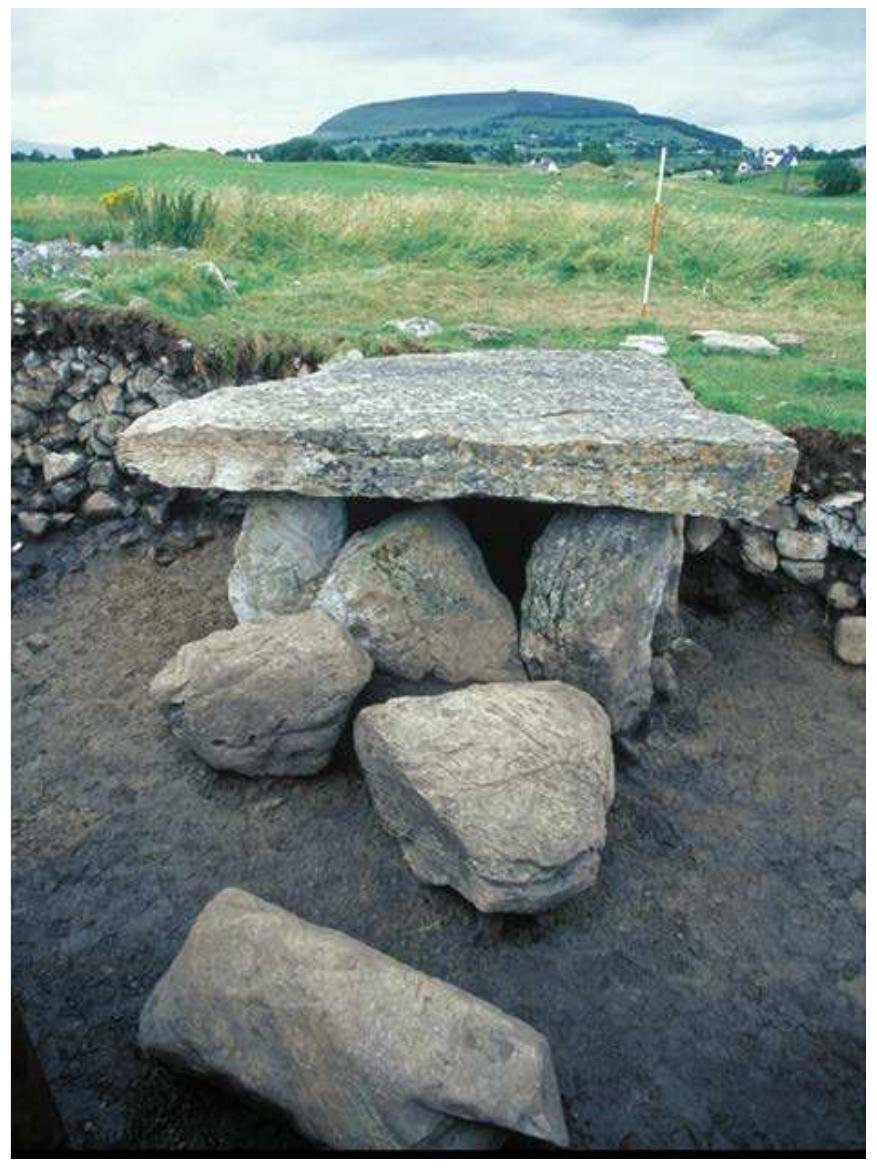
Megalithic tomb in Béal Deirg MórMegalithic tomb · 2.9 mi

Explorer Tom Megalithic tomb in Béal Deirg Mór is surrounded by sheep who have strong opinions about its design. They keep eating…
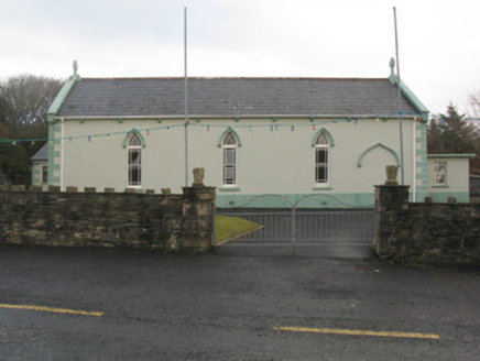
Saint Teresa's Catholic ChurchChurch/chapel · 2.9 mi

Explorer Tom Saint Teresa's Catholic Church in Belderg More is a barn-shaped church with big dreams about being a chipper. It would…

Glencalry National SchoolSchool · 4.4 mi

Explorer Tom Glencalry National School is proud of its standardized design, which basically means it looks like every other school…
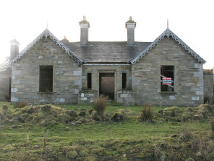
Glenlossera LodgeHunting/fishing lodge · 4.4 mi

Explorer Tom Glenlossera Lodge in Glenglassera was bought by a cow who thought she understood real estate better than her owner. It…

CastleCastle, unclassified · 4.4 mi

Explorer Tom Castle in Gleann Chalraí Íochtarach was saved by a hero who got paid in cheese and has never been thanked since. He…

Geesala CemeteryCemetery · 18 mi

Explorer Tom Geesala Cemetery in County Mayo would be the quietest contestant on any reality show, just staring blankly at the…

Standing stone in Tulachán DubhStanding stone · 19 mi

Explorer Tom Standing stone in Tulachán Dubh has a hidden message carved into its side, but only if you squint really hard. I bet it…
Cuan an Fhóid DuibhBay · 19 mi

Explorer Tom Blacksod Bay is wide enough to swallow one of my directions and still have room for the boat. It runs roughly sixteen…

Fahy or Doona Castle in ruinsCastle, tower house · 22 mi

Explorer Tom Fahy or Doona Castle in ruins is hosting a fiddler who never left his post. He’s been playing since the last ice age…
Ballina Golf ClubGolf course · 24 miSt. Deirbhile's Old Church GraveyardGraveyard · 25 mi

Explorer Tom St. Deirbhile's Old Church Graveyard is waiting for a prophecy about gold coins that absolutely never came true, which…

More archaeology and monuments in County Mayo · All of County Mayo

Add to this placeAdd a picture Add a detailed tip Add a story

Explore the map1,095,414 places to discover

Next place · or swipeBelderg National School