What is recorded here
Indicated on the 1st (1840) ed. 6-inch OS map as ‘Old Deer Park’ N of, and probably associated with Wilford House (TS055-078----). It forms a rectangular area (dims. c. 400m N-S; c. 330m E-W) enclosing an undulating field which slopes down in the centre towards a stream which runs roughly E-W through the centre of the field. The S boundary is a poorly preserved drystone wall (H 1m; Wth 0.5m) and the E boundary is formed by an earthen bank. The original deer park may have been larger, perhaps extending to the E and W.
Compiled by: Jean Farrelly
Date of upload: 05 December 2012
The monument record does not grant public access. Check the route and ask the landowner before entering private land.
- What survives
- Recorded monument
Places near here
 Church in ShangarryChurch · 366 yd
 Site of ChurchChurch · 420 yd
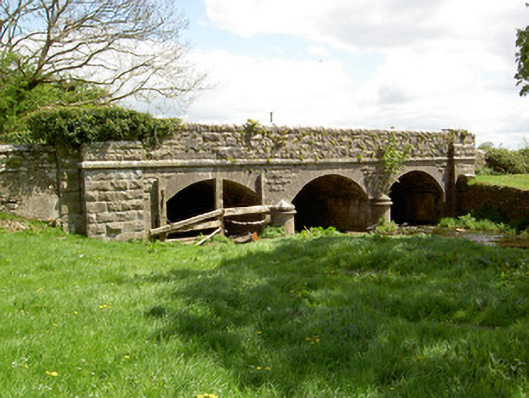 Wilford Bridgebridge · 806 yd
 IndicatedEnclosure · 1056 yd
 Bawn in LismalinBawn · 1.1 mi
 Crohane CastleCastle · 1.4 mi
 Knockuragh HillMountain / peak · 2.9 mi
 Top Field at Carey'sForest · 3.0 mi
 Fenane WoodForest · 3.0 mi
 Eagle HillMountain / peak · 3.5 mi
 Derrynaflan TrailHeritage attraction · 7.1 mi
 Gobban Saer's GraveArchaeological place · 8.0 mi