What is recorded here
On a map entitled ‘A Map of the Coal District near Killenaule’ by Patrick Leahy, 11th May 1824 [NLI 16.I.17 (1)] there is a house indicated as ‘Ho. in ruin’ at the location of Wilford Ho. on the 1st (1840) ed. 6-inch OS map, which has been renamed Shangarry House by the 2nd (1903-04) ed. A terrier to the Down Survey parish maps refers to only one house in the several townlands in the Mowny parish, ‘It Conteyneth these townlands following vizt Garrinoe Knockankitt Shangarry Dundrenane and Kilmoculmoge:- In which there is not any manner of improvement but two Cabins and one House’ (Petty 1655-6). The present ruinous house with canted end bays and the associated outbuildings are mid to 18th-century in date. There is no indication of an earlier house at this location.
Compiled by: Jean Farrelly
Date of upload: 10 December 2012
The monument record does not grant public access. Check the route and ask the landowner before entering private land.
- What survives
- Recorded monument
Places near here
 Church in ShangarryChurch · 334 yd
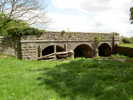 Wilford Bridgebridge · 689 yd
 IndicatedEnclosure · 689 yd
 Site of ChurchChurch · 777 yd
 Bawn in LismalinBawn · 1654 yd
 Crohane CastleCastle · 1.3 mi
 Knockuragh HillMountain / peak · 2.7 mi
 Fenane WoodForest · 2.9 mi
 Top Field at Carey'sForest · 3.2 mi
 Eagle HillMountain / peak · 3.4 mi
 Slieveardagh Heritage CentreVisitor information · 5.0 mi
 Derrynaflan TrailHeritage attraction · 7.2 mi