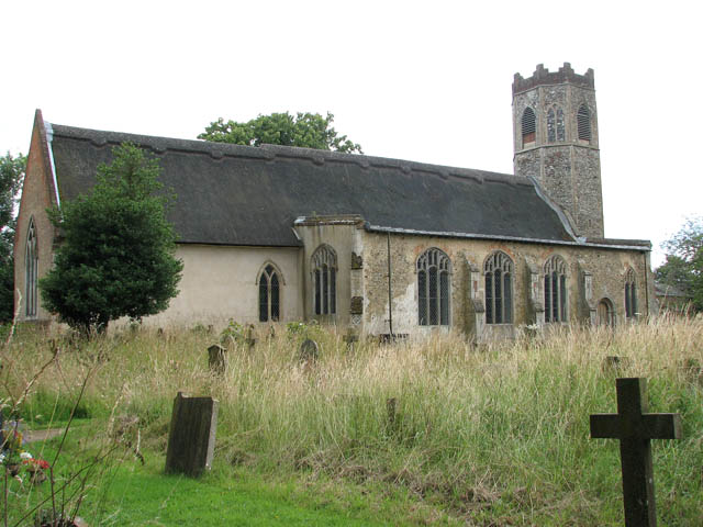
What is recorded here
Situated on the summit of a drumlin hill within an approximately square graveyard containing modern grave-markers. Davies (1948, 77) noted that 'under Charles I it was recommended that the church be moved to Gortnakesh, as more convenient to the manor-house of Monyehall (CV025-098----) but it does not seem that this was done.' Not visible at ground level.
The above description is derived from the published 'Archaeological Inventory of County Cavan' (Dublin: Stationery Office, 1995). In certain instances the entries have been revised and updated in the light of recent research.
Date of upload/revision: 22 December 2008
A local church or high cross; wider significance not recorded.
The monument record does not grant public access. Check the route and ask the landowner before entering private land.
- What survives
- Recorded monument
Places near here
 The PlowMonument · 456 yd
 IndicatedFairy fort / earthen ringfort · 880 yd
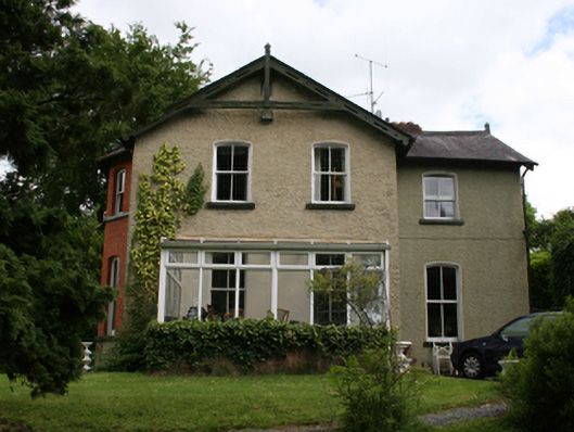 Killynebber Househouse · 1140 yd
 CastleCastle, unclassified · 1543 yd
 GrottoWood · 1639 yd
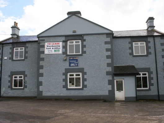 Cavan Schoolschool · 1644 yd
 Owen Roe O'Neill graveMemorial · 1.0 mi
 BillisMountain / peak · 1.3 mi
 Aghalackan WestMountain / peak · 1.4 mi
 Bawn in MoynehallBawn · 1.5 mi
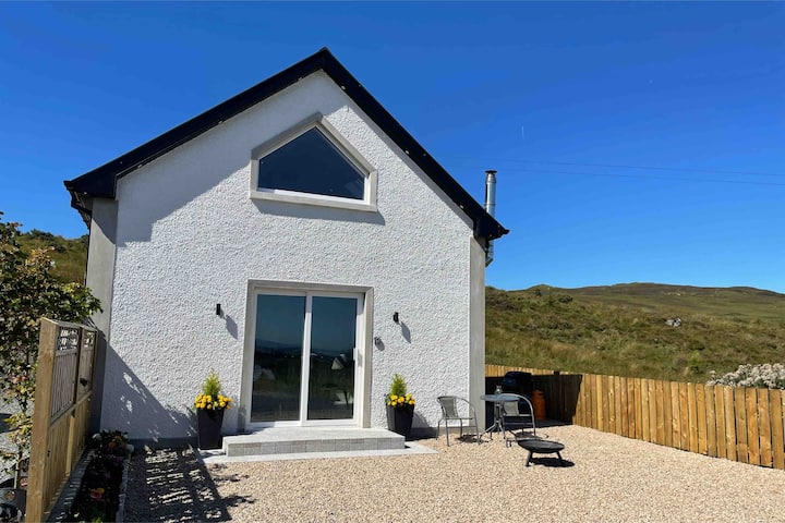 Drumkeen House WoodlandWood · 2.3 mi
 Carricknagore RockNamed rock · 2.6 mi
Other information
Photo: Credit not shown in the picture search · Rights wording not checked; contact us if this picture should be removed