
What is recorded here
Found in pasture, on the E side of a townland boundary fence between Ballyrobert and Rathcobane. This stone (H c. 1.3m; 0.33m x 0.26m) lay a short distance to the SW of the position indicated on the 1901 and 1936 OS 6-inch maps. The weathered inscription was interpreted by Macalister (1945, 70, no. 65) as LOGA MAQI…
Read the whole record
From the National Monuments Service (Archaeological Survey of Ireland) record CO054-067
Places near here
Photo credits
- Maker not stated on source page, global-geography.org
- Maker not stated on source page, www.pinterest.com
- Maker not stated on source page, traveltalesoflife.com
- Maker not stated on source page, www.tripadvisor.com
- Maker not stated on source page, prntbl.concejomunicipaldechinu.gov.co
- National Inventory of Architectural Heritage
- Kmcnamee, Wikimedia Commons · CC BY-SA 4.0
- Jonathan Billinger, Geograph · Creative Commons Attribution-ShareAlike 2.0
- Maker not stated on source page, en.wikipedia.org
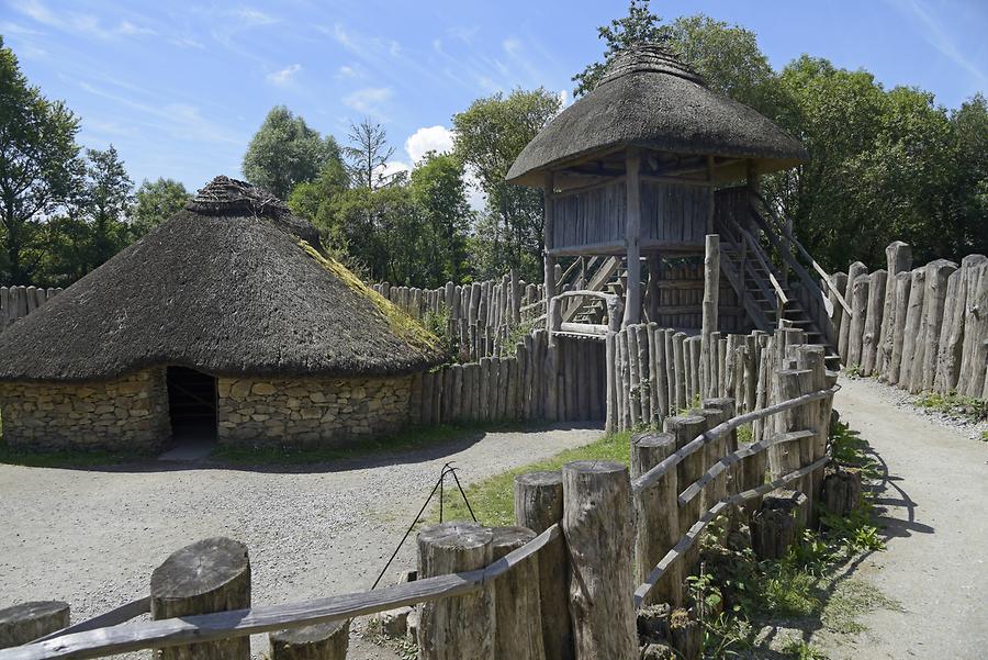 Fairy fort / earthen ringfort in Ballyrobert (barrymore By., Gortroe Par.)Fairy fort / earthen ringfort · 564 yd
Explorer Tom This Fairy fort / earthen ringfort in Ballyrobert is completely gone, just levelled tillage where the map said there…
 Rathcobane CAstle (in Ruins)Castle, unclassified · 720 yd
Explorer Tom Rathcobane Castle was nearly sold for a horse in 1974 because someone decided it looked 'too dangerous,' which is a…
 Fairy fort / earthen ringfort in Ballyoneen (barrymore By., Gortroe Par.)Fairy fort / earthen ringfort · 1452 yd
Explorer Tom Fairy fort / earthen ringfort in Ballyoneen is completely levelled, so good luck finding it! The 1842 map promised a…
 Fairy fort / earthen ringfort in RathaneagueFairy fort / earthen ringfort · 1692 yd
Explorer Tom Fairy fort / earthen ringfort in Rathaneague has a circular hut site inside, right in the middle. It’s got a…
 Killamurren Church (Site of)Ecclesiastical enclosure · 1.1 mi
Explorer Tom Killamurren Church had a prophecy it would outlive the farmers, but the farm buildings won that bet hands down. It's…
 Church (Site of)Church · 1.5 mi
Explorer Tom Church in Templebodan is another site of nothing. In ruins since the 17th century, now just marked on a map. A…
Fairy fort / earthen ringfort in Ballynoe (barrymore By., Gortroe Par.)Fairy fort / earthen ringfort · 1.6 miExplorer Tom Fairy fort / earthen ringfort in Ballynoe has been levelled but still shows a low circular rise. It’s sitting on a…
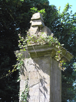 gates/railings/walls2.4 mi
Explorer Tom Gates in Leadinton have got the weather's long grudge against it? The rain has been trying to wash them off the road…
 presbytery/parochial/curate's house2.4 mi
Explorer Tom Presbytery in Ballincurrig has such clean lines that a cow once tried to buy it with a bundle of carrots and a very…
 Watergrasshill GAA pitchGAA ground · 3.7 mi
 Church of the Immaculate ConceptionChurch/chapel · 3.9 mi
Explorer Tom Church of the Immaculate Conception in Tinageragh is using terracotta surrounds on its clerestory windows, which is a…
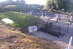 Kilquane CemeteryCemetery · 4.8 mi
Explorer Tom Kilquane Cemetery in County Cork took roughly forty thousand cups of tea to build, according to local legend which is…
More archaeology and monuments in County Cork · All of County Cork

What do you know about this place?Tap to add a comment or ask a question