What is recorded here
Situated just W of the summit of a high E-W ridge. This is a large block-like boulder (max. dims. H 2.1m, 1.2m by 0.9m in section) orientated NW-SE. The lower corners of the stone have been worn smooth by cattle scratching. The remains of an ogham inscription, probably added to the existing standing stone early in the first millennium AD, can be seen on the upper part of the E corner. This inscription, as read from the base up, has been transliterated as 'BRANOGENI' by Macalister (CLAJ 1915, 385-6; 1945, 44, no. 39). (Buckley 1986, no. 186)
Compiled by: Nora White
Date of upload: 19 September 2016
The monument record does not grant public access. Check the route and ask the landowner before entering private land.
- What survives
- Recorded monument
Places near here
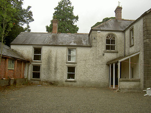 Toberdoney Househouse · 1152 yd
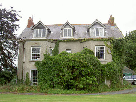 Harristown Housecountry house · 1214 yd
 IndicatedHoly well · 1257 yd
 Not idicatatedCastle, unclassified · 1344 yd
 Trinity WellHoly well · 1389 yd
 Rocjardstown CastleCastle, tower house · 1.2 mi
 Monterey CypressMonterey Cypress · 1.2 mi
 Graveyard in Richardstown (ardee By., Richardstown Par.)Graveyard · 1.2 mi
 Graveyard in StickillinGraveyard · 1.3 mi
 Rathescar Lakeside WalkWood · 2.1 mi
 Mount OrielMountain / peak · 3.9 mi
 Black HillMountain / peak · 4.2 mi