What is recorded here
Excavated in 2005 under Ministerial Order No. A005 by Graham Hull on the route of the proposed Limerick Southern Ring Road Phase II (NRA sub number A005/1030; Hull 2005). The results were summarised as following; ‘A spread of burnt stone and charcoal-rich soil was identified at the margin of the north side of the River Shannon flood-plain and measured c. 7m by 7m and was 0.35m thick. The burnt stone was overlain by alluvium, suggesting that the site had been flooded. A rectangular trough (1.8m by 0.9m by 0.3m deep) was centrally located within the burnt-stone deposit and contained two poorly preserved worked timbers' (www.excavations.ie 2005, No. 962).
Compiled by: Martin Fitzpatrick
Date upload: 2 July 2020
The monument record does not grant public access. Check the route and ask the landowner before entering private land.
- What survives
- Recorded monument
Places near here
 Skehacreggaun Ho. (in ruins)House, 17th century · 613 yd
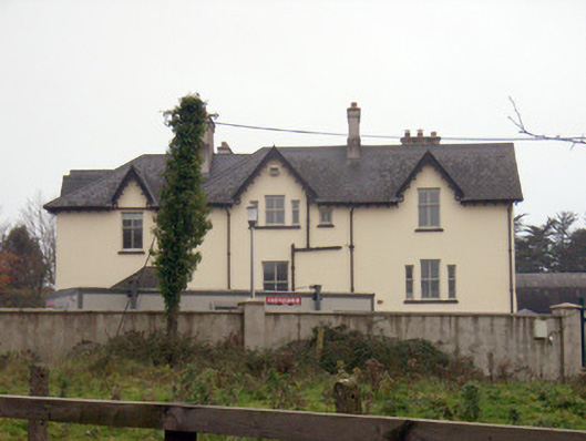 Templemungrethouse · 736 yd
 Man-made underground passage in SkehacreggaunMan-made underground passage · 883 yd
 ToberpatrickHoly well · 1169 yd
 Coonagh NatureNature reserve · 1.4 mi
 Coreen Castle (in ruins)Castle, unclassified · 1.6 mi
 Limerick Seamen's MemorialMemorial · 2.0 mi
 Saint John Paul IIMemorial · 2.0 mi
 Castle Blake or Farranshone (Site of)Castle, unclassified · 2.3 mi
 King's IslandIsland · 2.7 mi
 Fountain SculptureHeritage attraction · 4.6 mi
 Visitor CentreVisitor information · 4.6 mi