What is recorded here
Yes. That is the only fact in the last answer. Mungret is not a new claim; it is in the request and the source. I should have used that fact instead of repeating yes.
The following description of this monument is taken from 'The Urban Archaeological Survey of County Limerick' compiled by John Bradley, Andrew Halpin and Heather A. King (1989a), unpublished report commissioned by the Office of Public Works, Dublin.
"The castle, which was the administrative centre of the episcopal manor, is now completely destroyed (MacCaffrey 1907, 155; Westropp 1906-7, 150). It was located on a low rise to the north west of the churches. On the site there are a series of low walls, up to 1.5m high, most of which are probably modern but some may be part of the original L-shaped castle shown on the map. One corner has long and short quoins."
Compiled by: Denis Power
Date of upload: 5 February 2013
Built in the 13th century, likely by the de Burgo family, Castle Castlemungret is remembered as a medieval stronghold associated with the powerful Norman lords of Connacht and Munster. Its ruins are significant as a historical marker of Norman expansion into west Limerick.
The monument record does not grant public access. Check the route and ask the landowner before entering private land.
- What survives
- Recorded monument
Places near here
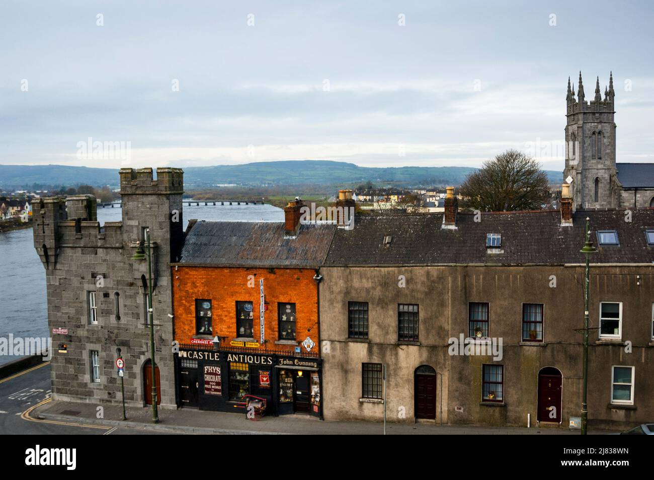 Not shown.Fulacht fia · 349 yd
 Enclosure in CastlemungretEnclosure · 365 yd
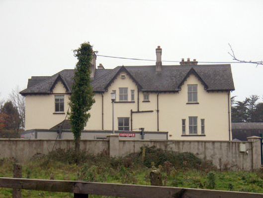 Templemungrethouse · 569 yd
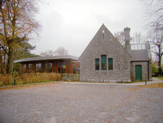 schoolschool · 599 yd
 Coonagh NatureNature reserve · 1.5 mi
 Coreen Castle (in ruins)Castle, unclassified · 1.7 mi
 Carrigogunnell CastleRuins · 2.5 mi
 Sailors HaggardMemorial · 2.9 mi
 Cratloe WoodsForest · 5.0 mi
 Fountain SculptureHeritage attraction · 5.2 mi
 Visitor CentreVisitor information · 5.3 mi
 Campus MapVisitor information · 5.3 mi