
What is recorded here
In reclaimed pasture, 30m N of townland boundary with Moneteen, fulacht fiadh (LI013-222----) 30m to NE. Not depicted on the 1840 0S 6-inch map or the 1897 OS 25-inch map. Identified by Celie O’Rahilly, archaeologist, Limerick Corporation as part of a pre-planning archaeological assessment. It was described as following; ‘The field is at present under grass and reeds and very water-logged. There is a band of higher ground along the western side, parallel to Moore's Road and at the southern end. Located at this end is a clump of hawthorn trees with some boulders. There is what appears to be a raised sub-circular platform with linear features both within and adjacent’ (O‘Rahilly 1999). Faint cropmarks visible on Google Earth orthoimage taken 19/11/2019.
See attached Google Earth orthoimages
Compiled by: Martin Fitzpatrick
Date upload: 29 June 2020
The monument record does not grant public access. Check the route and ask the landowner before entering private land.
- What survives
- Recorded monument
Places near here
 Not shown.Fulacht fia · 47 yd
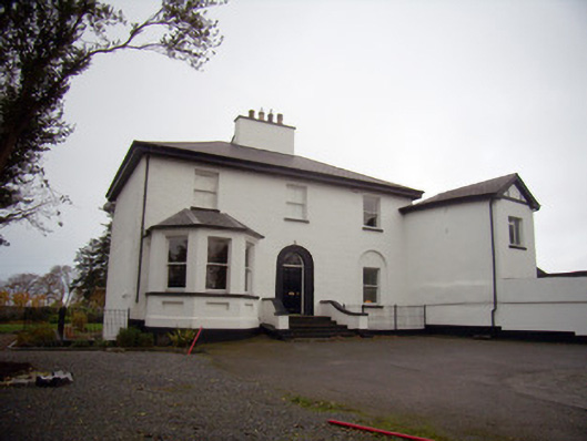 Mount Mungretrectory/glebe/vicarage/curate's house · 369 yd
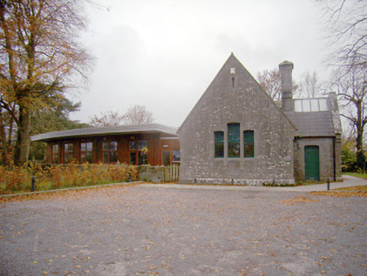 schoolschool · 417 yd
 Burial GroundGraveyard · 613 yd
 Coonagh NatureNature reserve · 1.7 mi
 Coreen Castle (in ruins)Castle, unclassified · 1.9 mi
 St James's WellSpring · 2.2 mi
 Castle FieldCastle, unclassified · 2.5 mi
 Sailors HaggardMemorial · 3.0 mi
 Cratloe WoodsForest · 5.2 mi
 Fountain SculptureHeritage attraction · 5.3 mi
 Visitor CentreVisitor information · 5.4 mi
Other information
Photo: Credit not shown in the picture search · Rights wording not checked; contact us if this picture should be removed