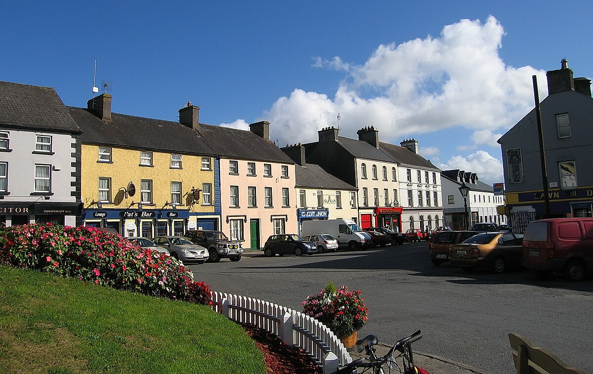
What is recorded here
Located on a N-facing slope of Thur Mountain with the deep valley of a S-N stream immediately to the E. The townland name – Tullintaggart from Tulach an tSagairt, means the hill of the priest. The location is known locally and has been researched by Liam Gallagher, who discovered it is recorded in the Schools Manuscripts from 1937-8. The priest was a Fr. McLoughlin and it is thought that the mass rock was used c. 1800. See this web-page accessed on 28 April, 2015. http://duchas.ie/en/cbes/4602741/4600148 The rock is now almost obscured by heather and peat but its extent can be discovered by probing. It is rectangular (dims c. 1.3m N-S; c. 1m E-W; visible H 0.4m) but only the E edge is visible and it has no markings.
Compiled by: Michael Moore
Date of upload: 28 April, 2015
Linked to a local priest or saint, the site reflects a tradition of holy wells associated with spiritual or healing practices. The name Tulach an tSagairt suggests a historical connection to early Christian worship or a local ecclesiastical figure.
The monument record does not grant public access. Check the route and ask the landowner before entering private land.
- What survives
- Recorded monument
Places near here
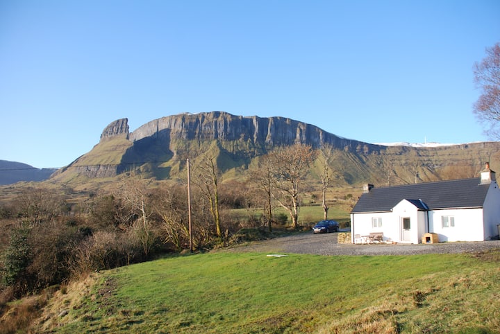 Mass-rock in SraduffyMass-rock · 1133 yd
 Corracloona Court TombArchaeological place · 1.5 mi
 Saint Patrick's Catholic Churchchurch/chapel · 1.6 mi
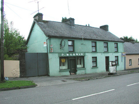 P. M'Gowanhouse · 1.7 mi
 Dough MountainMountain / peak · 2.0 mi
 Crannoge IslandIslet · 2.5 mi
 Creevaghern IslandIslet · 2.9 mi
 Lough MacNean WalkWalking route · 3.5 mi
 Saddle HillMountain / peak · 3.7 mi
 Port IslandCastle, Anglo-Norman masonry castle · 4.2 mi
 Giant's GraveArchaeological place · 4.9 mi
 Fowley's FallsPicnic place · 5.2 mi
Other information
Photo: Credit not shown in the picture search · Rights wording not checked; contact us if this picture should be removed