What is recorded here
Thur Mountain and a nameless hill clamp a hidden saddle where a twenty-five-metre fort vanished into pasture. Humans may have built, broken or buried it, while fairies took the remainder for their own dark game.
Depicted a circular enclosure (diam. c. 25m) on the 1835 ed. of the OS 6-inch map where it is described in gothic lettering as a ‘Fort’ and as an area with quarries to the S and W on the 1910 ed. It is situated in a little saddle between a hill c. 400m to the NW and the N flank of Thur Mountain to the S. No feature is visible at ground level in pasture.
The above description is derived from 'The Archaeological Inventory of County Leitrim' compiled by Michael J. Moore (Dublin: Stationery Office, 2003). In certain instances the entries have been revised and updated in the light of recent research.
Date of upload/revision: 12 December 2011
The monument record does not grant public access. Check the route and ask the landowner before entering private land.
- What survives
- Recorded monument
Places near here
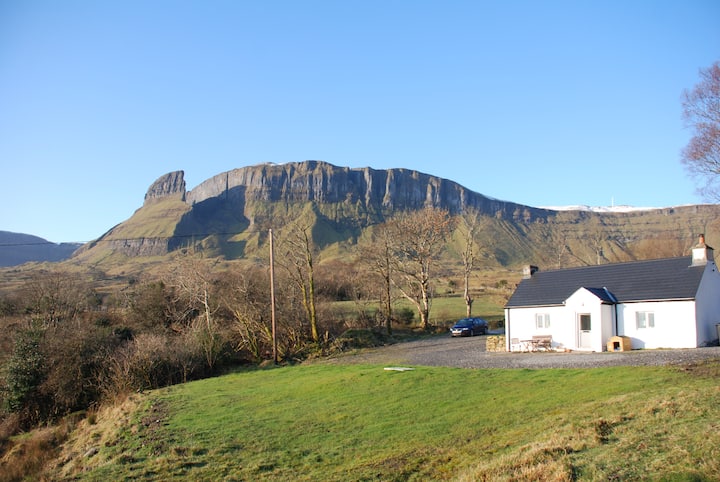 Mass-rock in SraduffyMass-rock · 610 yd
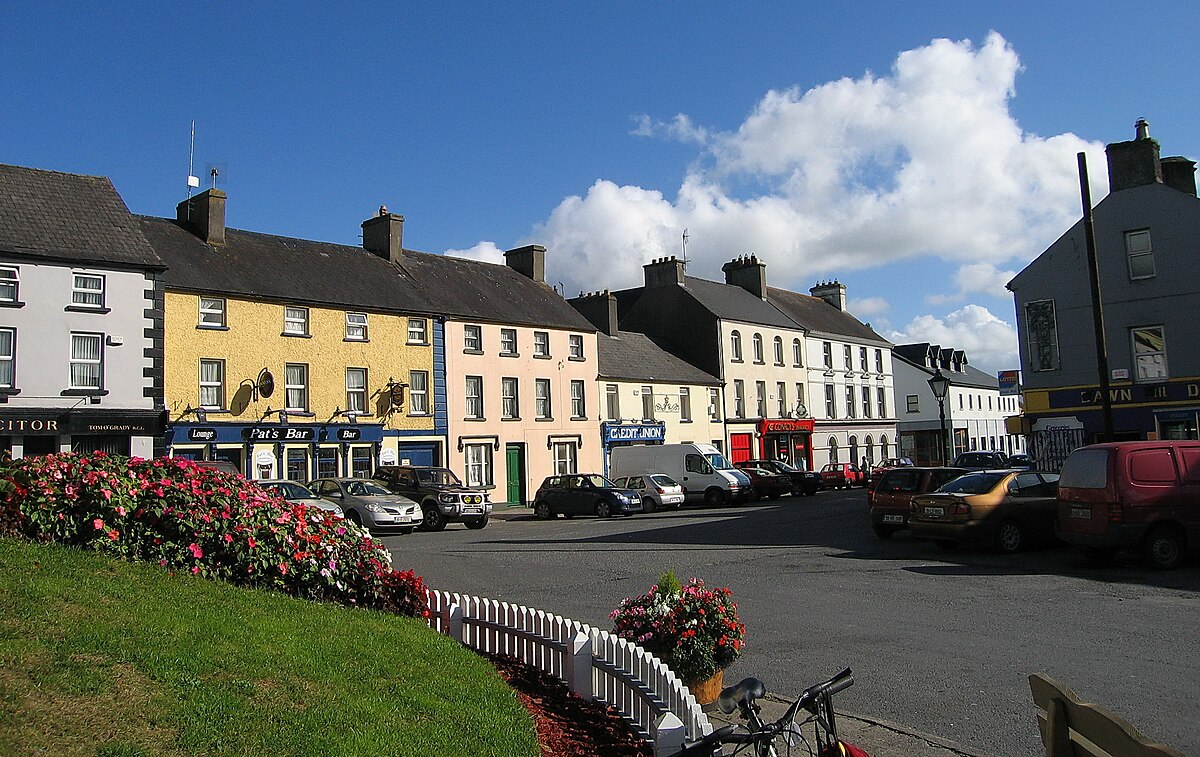 Not nidicatedMass-rock · 1082 yd
 Saint Patrick's Catholic Churchchurch/chapel · 1.0 mi
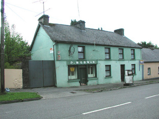 P. M'Gowanhouse · 1.1 mi
 Dough MountainMountain / peak · 2.2 mi
 Crannoge IslandIslet · 2.5 mi
 InishteigeIsland · 3.0 mi
 Saddle HillMountain / peak · 3.6 mi
 Lough MacNean WalkWalking route · 3.8 mi
 Port IslandCastle, Anglo-Norman masonry castle · 4.5 mi
 Fowley's FallsPicnic place · 4.9 mi
 Giant's GraveArchaeological place · 5.2 mi