What is recorded here
Situated on the W-facing slope of Ratoath but possibly outside the extent of the historic town. Archaeological testing (18E0005) and excavation of an open area (dims 22.5m x 10.5m) in advance of house-building identified a series of drainage ditches running NE-SW and generally parallel with likely burgage plots in the town. An oval pit (dims 1.1m x 0.8m; D 0.22m) with the remains of a calf and an occupation spread were recorded in an area (dims c. 40m NNE-SSW; c. 27m WNW-ESE) that had been a garden. All features contained medieval pottery and animal bones, and a large part of it will be preserved under a garden (excavations.ie 2018:003; 2018:315). (McLoughlin 2018, 2019)
Date of upload; 12 April, 2018
Amended: 15 April 2021
The monument record does not grant public access. Check the route and ask the landowner before entering private land.
- What survives
- Recorded monument
Places near here
 CrossCross, Market cross · 333 yd
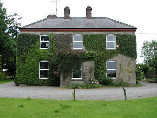 Park Househouse · 429 yd
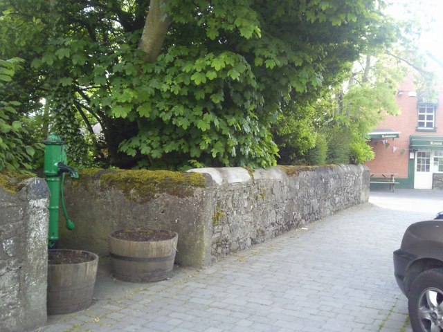 Enclosure in RatoathEnclosure · 442 yd
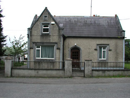 The Barrackshouse · 487 yd
 MoatCastle, motte and bailey · 538 yd
 CastleCastle, unclassified · 2.0 mi
 Lemur WoodWood · 2.6 mi
 Emerald ParkHeritage attraction · 2.6 mi
 AshbourneMemorial · 3.5 mi
 Cornstown HouseHeritage attraction · 3.9 mi
 Newtown HillMountain / peak · 3.9 mi
 Caulstown Christmas Tree FarmForest · 4.2 mi